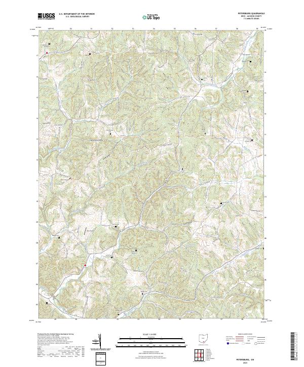
2023 Map of Petersburg
USGS Topo · Published 2023About this map
Riegel Ridge and the winding waters of Bucklick Creek characterize this Jackson County landscape, where small-scale aviation and dozens of local burial grounds define the modern rural layout. The presence of Russ Airport near McCoy Cem highlights the specialized land use in this part of Ohio, while the terrain is deeply etched by namesake hollows like Pigeonroost Hollow and Irish Hollow. Genealogists will find a wealth of family-named sites, including Crabtree Cem Number 1, Grahamsville Cem, and Canter Cem Number 2, which are scattered throughout the hills and valleys. The drainage patterns of Holland Fork and Fourmile Creek dictate the road network, as local routes like Van Fossan Rd and Ralph Riegel Rd follow the contours of the land. This survey provides a precise accounting of the region's cemeteries and watercourses, reflecting a community rooted in its geographic topography and ancestral landmarks.
Find a feature on this map
100 named features on this map. Tap any name to fly to it.
Don’t see what you’re looking for? This feature index may not catch every label — zoom into the map to look around manually.
Map Details
Editions of this 2023 Petersburg Map
This is the sole edition of this map. No revisions or reprints were ever made.
Other maps of this area

1906 · Waverly
USGS Topo · 1:62,500

1908 · Waverly
USGS Topo · 1:62,500

1911 · Sciotoville
USGS Topo · 1:62,500

1912 · Oak Hill
USGS Topo · 1:62,500

1913 · Sciotoville
USGS Topo · 1:62,500

1913 · Jackson
USGS Topo · 1:62,500

1944 · Jackson
USGS Topo · 1:62,500

1947 · Columbus
USGS Topo · 1:250,000

1957 · Huntington
USGS Topo · 1:250,000

1960 · Huntington
USGS Topo · 1:250,000