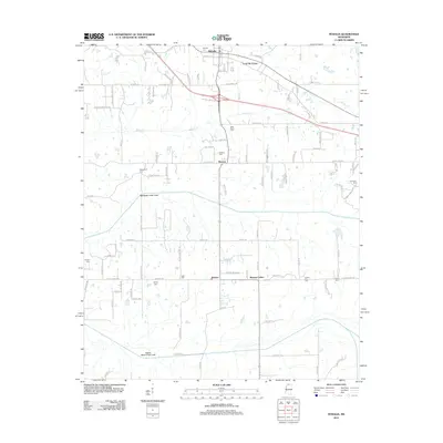
2012 Map of Byhalia
USGS Topo · Published 2012About this map
Byhalia serves as the primary hub of this north Mississippi landscape, where the town grid intersects with major routes like Byhalia Rd and E Stonewall Rd. The surrounding countryside is defined by an intricate network of waterways and early twentieth-century drainage modifications, including the Red Banks Creek Canal and Pigeon Roost Creek Canal. These engineered channels reflect a history of land management aimed at reclaiming the fertile lowlands surrounding Byhalia Cr and Cuffawa Cr for agriculture.
Find a feature on this map
110 named features on this map. Tap any name to fly to it.
Don’t see what you’re looking for? This feature index may not catch every label — zoom into the map to look around manually.
Map Details
Editions of this 2012 Byhalia Map
This is the sole edition of this map. No revisions or reprints were ever made.
Other maps of this area

1944 · Senatobia
USGS Topo · 1:62,500

1944 · Hernando
USGS Topo · 1:62,500

1944 · Tyro
USGS Topo · 1:62,500

1948 · Byhalia
USGS Topo · 1:62,500

1956 · Tupelo
USGS Topo · 1:250,000

1958 · Tupelo
USGS Topo · 1:250,000
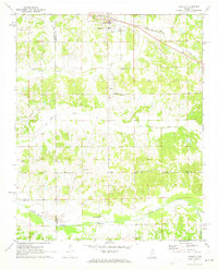
1971 · Byhalia
USGS Topo · 1:24,000
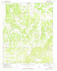
1971 · Marianna
USGS Topo · 1:24,000

1971 · Wyatte
USGS Topo · 1:24,000
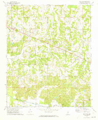
1971 · Red Banks
USGS Topo · 1:24,000