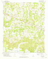
1971 Map of Red Banks
USGS Topo · Published 1973About this map
Red Banks and Victoria anchor this North Mississippi landscape during a period of rural transition in the early 1970s. The St Louis - San Francisco railroad cuts a straight line across the northern terrain, connecting these small settlements and the community of Mahon. The land is defined by the drainage patterns of Red Banks Creek and the wide bottomlands of Pigeon Roost Creek, where Gaging Stations monitor the water flow.
Find a feature on this map
24 named features on this map. Tap any name to fly to it.
Don’t see what you’re looking for? This feature index may not catch every label — zoom into the map to look around manually.
Map Details
Editions of this 1971 Red Banks Map
This is the sole edition of this map. No revisions or reprints were ever made.
Other maps of this area

1944 · Tyro
USGS Topo · 1:62,500

1944 · Potts Camp
USGS Topo · 1:62,500

1945 · Potts Camp
USGS Topo · 1:62,500

1948 · Byhalia
USGS Topo · 1:62,500

1953 · Holly Springs
USGS Topo · 1:62,500

1956 · Tupelo
USGS Topo · 1:250,000

1958 · Tupelo
USGS Topo · 1:250,000

1964 · Waterford
USGS Topo · 1:24,000
1965 · Slayden
USGS Topo · 1:24,000
1965 · Holly Springs
USGS Topo · 1:24,000