
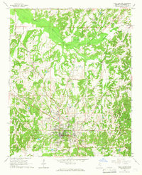
1964 Map of Waterford
USGS Topo · Published 1965About this map
The De Soto National Forest covers much of this mid-1960s landscape, where dense creek networks carve through the terrain of Wayne County. Small rural settlements like Strengthford and Water Oak serve as focal points for local community life, each anchored by traditional gathering places such as Strengthford Ch and Pleasant Ridge Ch. The map captures a moment of active resource extraction in the region, clearly delineating the Thompson Creek Oil Field and scattered oil wells alongside a Gravel Pit.
Find a feature on this map
30 named features on this map. Tap any name to fly to it.
Don’t see what you’re looking for? This feature index may not catch every label — zoom into the map to look around manually.
Map Details
Editions of this 1964 Waterford Map
This is the sole edition of this map. No revisions or reprints were ever made.
Other maps of this area

1944 · Tyro
USGS Topo · 1:62,500

1944 · Potts Camp
USGS Topo · 1:62,500

1945 · Potts Camp
USGS Topo · 1:62,500

1948 · Byhalia
USGS Topo · 1:62,500

1953 · Holly Springs
USGS Topo · 1:62,500

1956 · Tupelo
USGS Topo · 1:250,000

1958 · Tupelo
USGS Topo · 1:250,000

1964 · Holly Springs SE
USGS Topo · 1:24,000
1965 · Holly Springs
USGS Topo · 1:24,000
1969 · Holly Springs
USGS Topo · 1:62,500