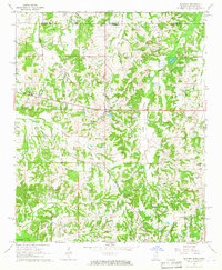
1965 Map of Slayden
USGS Topo · Published 1966About this map
The Tennessee Mississippi state line bisects this 1965 survey, marking the intersection of Fayette and Marshall counties. The rural community of Slayden serves as a central hub, while the village of Early Grove sits further east near the banks of Early Grove Creek. The landscape is defined by the Sand Flats and a network of watercourses including Golden Creek and Clear Creek, which eventually feed toward the Coldwater River at the southern edge of the quadrangle.
Find a feature on this map
29 named features on this map. Tap any name to fly to it.
Don’t see what you’re looking for? This feature index may not catch every label — zoom into the map to look around manually.
Map Details
Editions of this 1965 Slayden Map
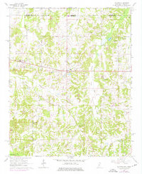
2 editions found
Other maps of this area

1943 · Collierville
USGS Topo · 1:62,500

1948 · Byhalia
USGS Topo · 1:62,500

1949 · Moscow
USGS Topo · 1:62,500

1953 · Holly Springs
USGS Topo · 1:62,500

1953 · Collierville
USGS Topo · 1:50,000

1956 · Blytheville
USGS Topo · 1:250,000

1956 · Tupelo
USGS Topo · 1:250,000

1958 · Tupelo
USGS Topo · 1:250,000

1959 · Blytheville
USGS Topo · 1:250,000

1964 · Holly Springs SE
USGS Topo · 1:24,000