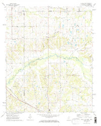
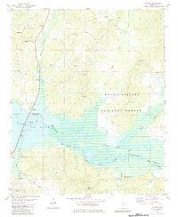
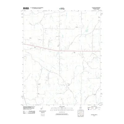
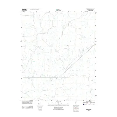
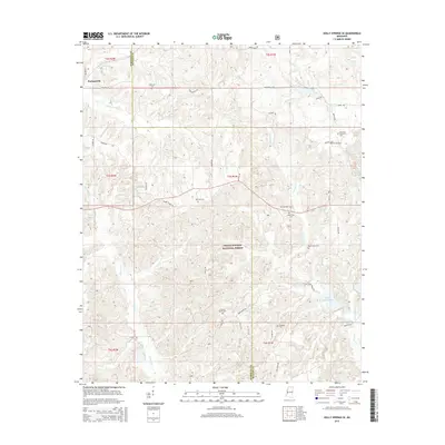
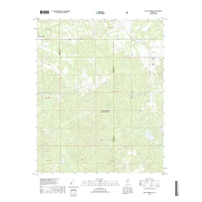
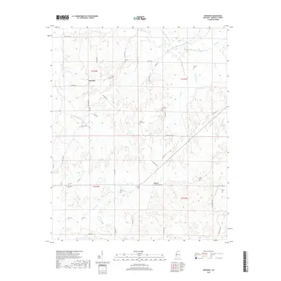
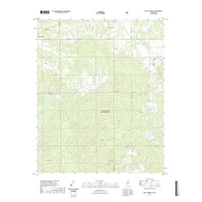
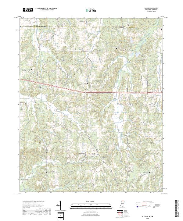
1965 Map of Slayden
USGS Topo · Published 1976About this map
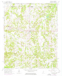
Slayden and Early Grove anchor this agricultural landscape along the Tennessee-Mississippi state line during the mid-1960s. The topography is defined by the drainage of Golden Creek and Clear Creek as they flow south toward the Coldwater River. Significant local institutions are clustered along these watercourses, including rural congregations at Concord Ch and Roberts Chapel. The community of Slayden serves as a central hub, containing the Slayden Cem and sitting just east of the Sand Flats Jr High Sch.
Find a feature on this map
28 named features on this map. Tap any name to fly to it.
Don’t see what you’re looking for? This feature index may not catch every label — zoom into the map to look around manually.
Map Details
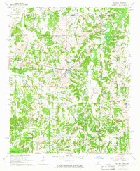
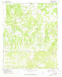
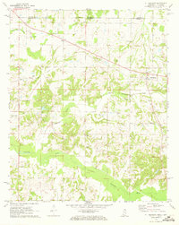
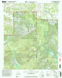
Editions of this 1965 Slayden Map
2 editions found
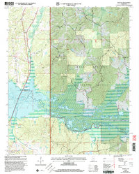
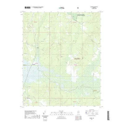
Historical Maps of Slayden Through Time
42 maps found
1944 Tyro
Marshall County, MS
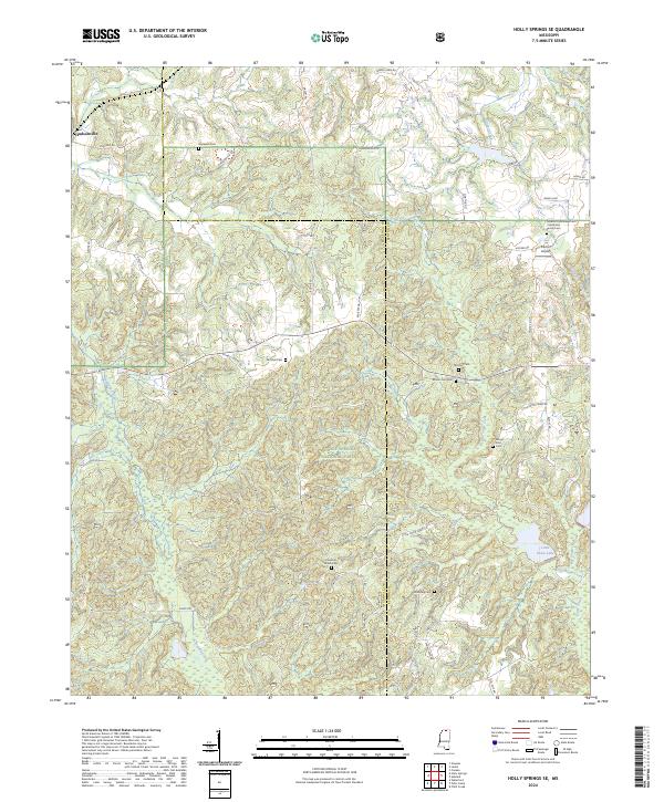
1964 Holly Springs SE
Marshall County, MS
1965 Slayden
Marshall County, MS
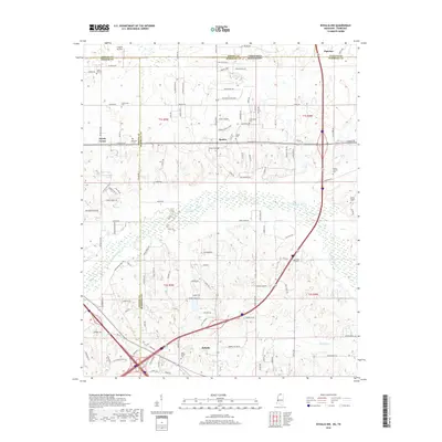
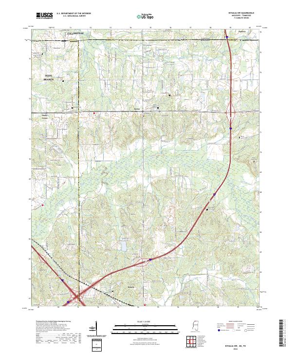
1971 Byhalia NW
Marshall County, MS
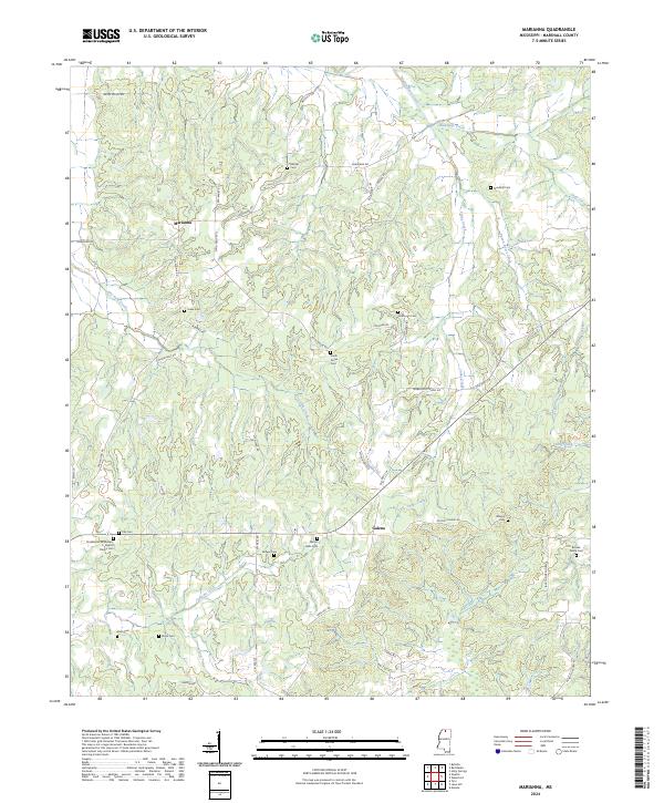
1971 Marianna
Marshall County, MS
1971 Mt. Pleasant
Marshall County, MS
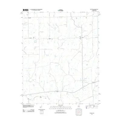
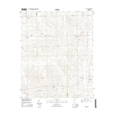
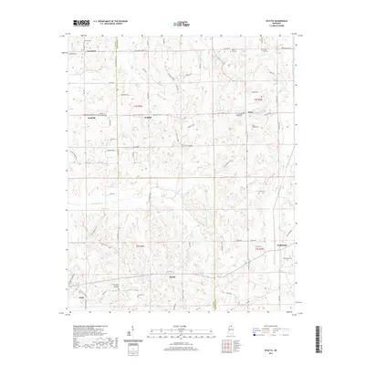
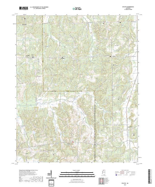
1971 Wyatte
Marshall County, MS
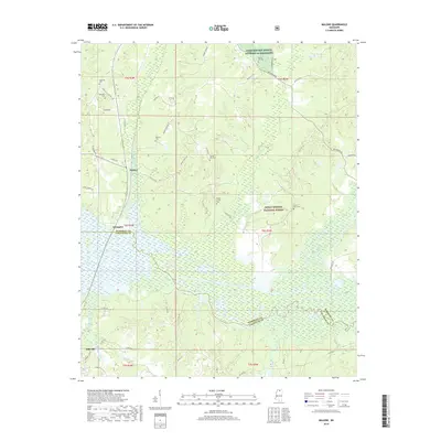
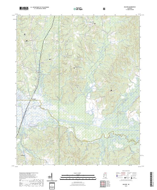
1982 Malone
Marshall County, MS
2000 Holly Springs SE
Marshall County, MS
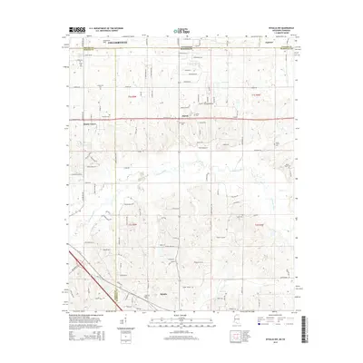
2000 Malone
Marshall County, MS
2010 Byhalia NW
Marshall County, MS
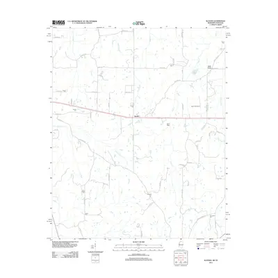
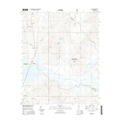
2010 Slayden
Marshall County, MS
2012 Byhalia NW
Marshall County, MS
2012 Holly Springs SE
Marshall County, MS
2012 Malone
Marshall County, MS
2012 Marianna
Marshall County, MS
2012 Slayden
Marshall County, MS
2012 Wyatte
Marshall County, MS
2015 Byhalia NW
Marshall County, MS
2015 Holly Springs SE
Marshall County, MS
2015 Malone
Marshall County, MS
2015 Marianna
Marshall County, MS
2015 Slayden
Marshall County, MS
2015 Wyatte
Marshall County, MS
2018 Byhalia NW
Marshall County, MS
2018 Holly Springs SE
Marshall County, MS
2018 Malone
Marshall County, MS
2018 Marianna
Marshall County, MS
2018 Slayden
Marshall County, MS
2018 Wyatte
Marshall County, MS
2021 Byhalia NW
Marshall County, MS
2021 Holly Springs SE
Marshall County, MS
2021 Malone
Marshall County, MS
2021 Marianna
Marshall County, MS
2021 Slayden
Marshall County, MS
2021 Wyatte
Marshall County, MS
2024 Byhalia NW
Marshall County, MS
2024 Holly Springs SE
Marshall County, MS
2024 Malone
Marshall County, MS
2024 Marianna
Marshall County, MS
2024 Slayden
Marshall County, MS
2024 Wyatte
Marshall County, MS