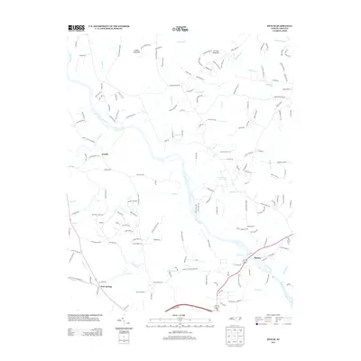
2013 Map of Bynum
USGS Topo · Published 2013About this map
The Haw River carves a central path through this section of the Piedmont, where the rural settlements of Terrells and Gum Springs anchor a landscape defined by its creek valleys and wooded rises. The topography is dominated by Collins Mountain and Terrells Mountain, landmarks that rise above the surrounding drainage basins of Terrells Cr and Wilkinson Cr. Small-scale water features like Il Penseroso Acres Lake and Faircloth Lake dot the eastern reaches, suggesting the residential development and private land use typical of this era in North Carolina.
Find a feature on this map
158 named features on this map. Tap any name to fly to it.
Don’t see what you’re looking for? This feature index may not catch every label — zoom into the map to look around manually.
Map Details
Editions of this 2013 Bynum Map
This is the sole edition of this map. No revisions or reprints were ever made.
Other maps of this area

1946 · Chapel Hill
USGS Topo · 1:24,000

1947 · Chapel Hill
USGS Topo · 1:31,680

1951 · Farrington
USGS Topo · 1:24,000

1953 · Raleigh
USGS Topo · 1:250,000

1954 · Raleigh
USGS Topo · 1:250,000

1968 · White Cross
USGS Topo · 1:24,000

1968 · Bynum
USGS Topo · 1:24,000

1969 · New Hope Dam
USGS Topo · 1:24,000

1970 · Pittsboro
USGS Topo · 1:24,000

1970 · Siler City NE
USGS Topo · 1:24,000