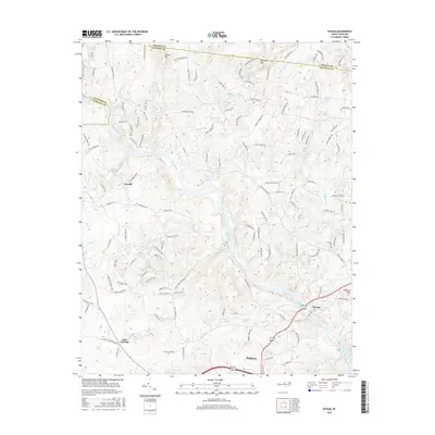
2016 Map of Bynum
USGS Topo · Published 2016About this map
Haw River carves a deep path through the center of this Chatham County landscape, where the settlements of Terrells and Bynum anchor the local geography. The terrain is defined by prominent elevations such as Collins Mtn, Terrells Mtn, and Lambeth Mtn, which overlook a network of tributary creeks including Terrells Cr and Wilkinson Cr. The map shows a region characterized by small-scale impoundments and ponds, such as Baldwin Mill Pond and Odell Pond, which suggest a history of water management for local use.
Find a feature on this map
137 named features on this map. Tap any name to fly to it.
Don’t see what you’re looking for? This feature index may not catch every label — zoom into the map to look around manually.
Map Details
Editions of this 2016 Bynum Map
This is the sole edition of this map. No revisions or reprints were ever made.
Other maps of this area

1946 · Chapel Hill
USGS Topo · 1:24,000

1947 · Chapel Hill
USGS Topo · 1:31,680

1951 · Farrington
USGS Topo · 1:24,000

1953 · Raleigh
USGS Topo · 1:250,000

1954 · Raleigh
USGS Topo · 1:250,000

1968 · White Cross
USGS Topo · 1:24,000

1968 · Bynum
USGS Topo · 1:24,000

1969 · New Hope Dam
USGS Topo · 1:24,000

1970 · Pittsboro
USGS Topo · 1:24,000

1970 · Siler City NE
USGS Topo · 1:24,000