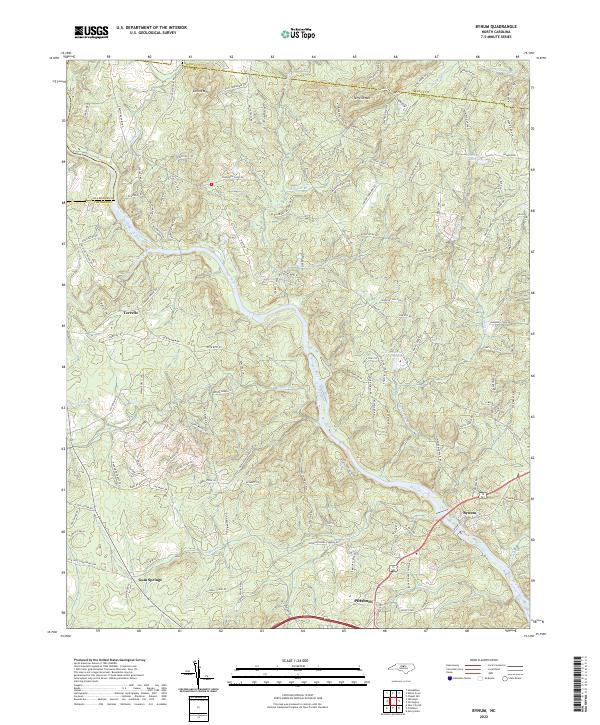
2022 Map of Bynum
USGS Topo · Published 2022About this map
The Haw River carves a winding path through the center of this Chatham County landscape, defining the topography between Terrells and the textile-rooted village of Bynum. The survey reveals a region shaped by its watercourses, from the Pritchard Mill (Site) near the Orange County line to the numerous tributaries like Terrells Creek and Brooks Cr that drain the local highlands.
Find a feature on this map
130 named features on this map. Tap any name to fly to it.
Don’t see what you’re looking for? This feature index may not catch every label — zoom into the map to look around manually.
Map Details
Editions of this 2022 Bynum Map
This is the sole edition of this map. No revisions or reprints were ever made.
Other maps of this area

1946 · Chapel Hill
USGS Topo · 1:24,000

1947 · Chapel Hill
USGS Topo · 1:31,680

1951 · Farrington
USGS Topo · 1:24,000

1953 · Raleigh
USGS Topo · 1:250,000

1954 · Raleigh
USGS Topo · 1:250,000

1968 · White Cross
USGS Topo · 1:24,000

1968 · Bynum
USGS Topo · 1:24,000

1969 · New Hope Dam
USGS Topo · 1:24,000

1970 · Pittsboro
USGS Topo · 1:24,000

1970 · Siler City NE
USGS Topo · 1:24,000