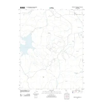
2012 Map of Byron Hot Springs
USGS Topo · Published 2012About this map
Byron Hot Springs serves as a notable landmark in this corner of Contra Costa County, where the transition from the Central Valley to the Diablo Range foothills is defined by sophisticated water management and rural ranching. The massive Los Vaqueros Reservoir dominates the western landscape, capturing runoff from Kellogg Cr and Marsh Cr, while the Bethany Reservoir and the S Bay Aqueduct to the south underscore the region's critical role in California's water infrastructure.
Find a feature on this map
28 named features on this map. Tap any name to fly to it.
Don’t see what you’re looking for? This feature index may not catch every label — zoom into the map to look around manually.
Map Details
Editions of this 2012 Byron Hot Springs Map
This is the sole edition of this map. No revisions or reprints were ever made.
Other maps of this area

1896 · Mt. Diablo
USGS Topo · 1:62,500

1898 · Mt. Diablo
USGS Topo · 1:62,500

1906 · Pleasanton
USGS Topo · 1:62,500

1907 · Tesla
USGS Topo · 1:62,500

1911 · Byron Hot Springs
USGS Topo · 1:31,680

1913 · Woodward Island
USGS Topo · 1:31,680

1914 · Brentwood
USGS Topo · 1:31,680

1914 · Bethany
USGS Topo · 1:31,680

1916 · Lone Tree Valley
USGS Topo · 1:31,680

1916 · Byron Hot Springs
USGS Topo · 1:31,680