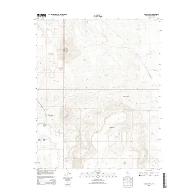
2013 Map of Cabezon Peak
USGS Topo · Published 2013About this map
Cabezon Peak stands as the defining volcanic landmark in this high-desert landscape of Sandoval County, which is also shaped by the intricate drainage of the Rio Puerco. This 2013 survey details a region dominated by dramatic topography, including the expansive Mesa Prieta and the gap at Abra de los Cerros. The map provides a precise look at the arroyo systems and canyons that define the local hydrology, such as Arroyo Bernalillito, Cañon Salado, and Arroyo Corrales.
Find a feature on this map
29 named features on this map. Tap any name to fly to it.
Don’t see what you’re looking for? This feature index may not catch every label — zoom into the map to look around manually.
Map Details
Editions of this 2013 Cabezon Peak Map
This is the sole edition of this map. No revisions or reprints were ever made.
Other maps of this area

1883 · Mt. Taylor
USGS Topo · 1:250,000

1886 · Mt. Taylor
USGS Topo · 1:250,000

1888 · Bernalillo
USGS Topo · 1:125,000

1889 · Albuquerque
USGS Topo · 1:125,000

1890 · Jemes
USGS Topo · 1:125,000

1892 · Jemes
USGS Topo · 1:125,000

1892 · Mt. Taylor
USGS Topo · 1:250,000

1893 · Albuquerque
USGS Topo · 1:125,000

1899 · Mt. Taylor
USGS Topo · 1:250,000

1939 · San Ysidro
USGS Topo · 1:62,500