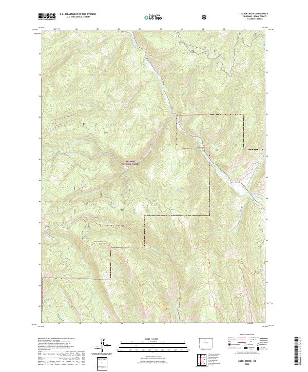
2022 Map of Cabin Creek
USGS Topo · Published 2022About this map
Arapaho National Forest defines this high-elevation landscape in Grand County, where a complex network of forest roads and pack trails navigates steep ridges and creek valleys. The drainage system is particularly dense, with Willow Cr collecting several tributaries including Adams Cr and the waters from Drowsy Water Cr. The terrain is characterized by named ridges and gulches such as Sawmill Gulch and McQueary Ridge Trl, illustrating the traditional land use patterns of the region's national forest management. Points of interest for modern navigators and historians include specific named sites like Cabin Corral and the Cabin Overlook, while the presence of routes like Sheriff Creek Rd and Co Rd 408W indicates how these mountain basins were accessed for timber or recreation. The map's layout of South Cabin Creek and its various forks suggests a topography that has dictated transit and water rights for generations.
Find a feature on this map
27 named features on this map. Tap any name to fly to it.
Don’t see what you’re looking for? This feature index may not catch every label — zoom into the map to look around manually.
Map Details
Editions of this 2022 Cabin Creek Map
This is the sole edition of this map. No revisions or reprints were ever made.
Other maps of this area

1915 · Longs Peak
USGS Topo · 1:125,000

1919 · Rocky Mountain National Park
USGS Topo · 1:125,000

1954 · Greeley
USGS Topo · 1:250,000

1954 · Craig
USGS Topo · 1:250,000

1956 · Radial Mountain
USGS Topo · 1:24,000

1956 · Parkview Mountain
USGS Topo · 1:24,000

1956 · Rand
USGS Topo · 1:62,500

1957 · Craig
USGS Topo · 1:250,000

1957 · Greeley
USGS Topo · 1:250,000

1957 · Bowen Mountain
USGS Topo · 1:24,000