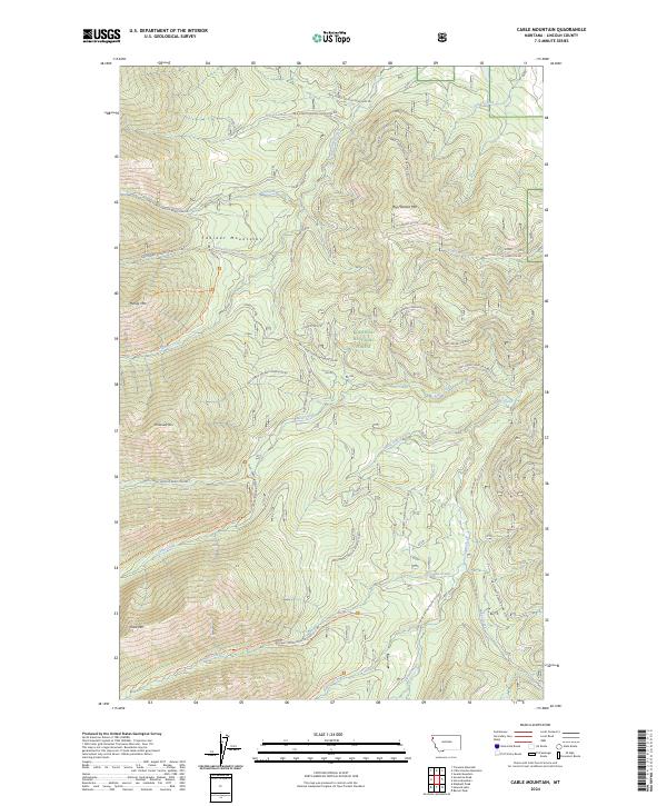
2024 Map of Cable Mountain
USGS Topo · Published 2024About this map
Kootenai National Forest dominates this section of Lincoln County, defined by the high peaks of the Cabinet Mountains and a dense network of forest development roads. This 2024 survey documents the modern management of these timberlands, where topographic heights like Big Hoodoo Mtn, McDonald Mtn, and Cable Mtn overlook deep drainage basins. The area is heavily defined by its watershed, with Libby Creek and Big Cherry Creek serving as primary collectors for numerous mountain tributaries such as Snowshoe Creek and Bear Creek. The map provides detailed tracking of specialized access routes, including the Poorman Creek Trl and Cable Creek Trl, which navigate the steep elevation changes. A significant portion of the land is divided into numbered parcels, such as PB 51 and PB 52, reflecting the ongoing administrative structure of these protected woods.
Find a feature on this map
67 named features on this map. Tap any name to fly to it.
Don’t see what you’re looking for? This feature index may not catch every label — zoom into the map to look around manually.
Map Details
Editions of this 2024 Cable Mountain Map
This is the sole edition of this map. No revisions or reprints were ever made.
Other maps of this area

1920 · Libby
USGS Topo · 1:125,000

1920 · Jennings
USGS Topo · 1:125,000

1930 · Libby
USGS Topo · 1:125,000

1932 · Libby
USGS Topo · 1:125,000

1935 · Thompson Lakes
USGS Topo · 1:96,000

1942 · Thompson Lakes
USGS Topo · 1:125,000

1957 · Kalispell
USGS Topo · 1:250,000

1960 · Kalispell
USGS Topo · 1:250,000

1961 · Kalispell
USGS Topo · 1:250,000

1963 · Swede Mountain
USGS Topo · 1:24,000