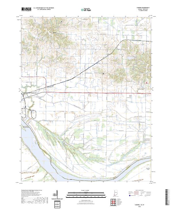
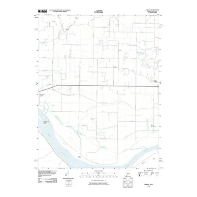
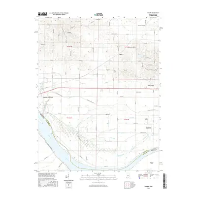
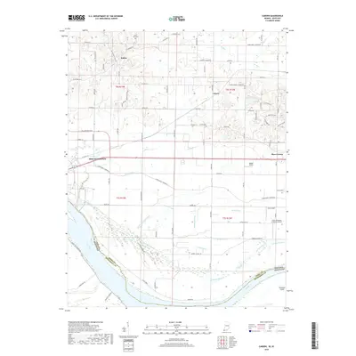
2022 Map of Caborn
USGS Topo · Published 2022About this map
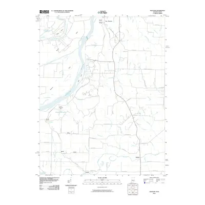
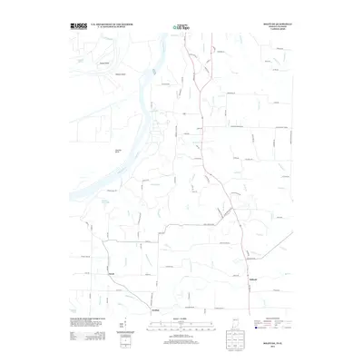
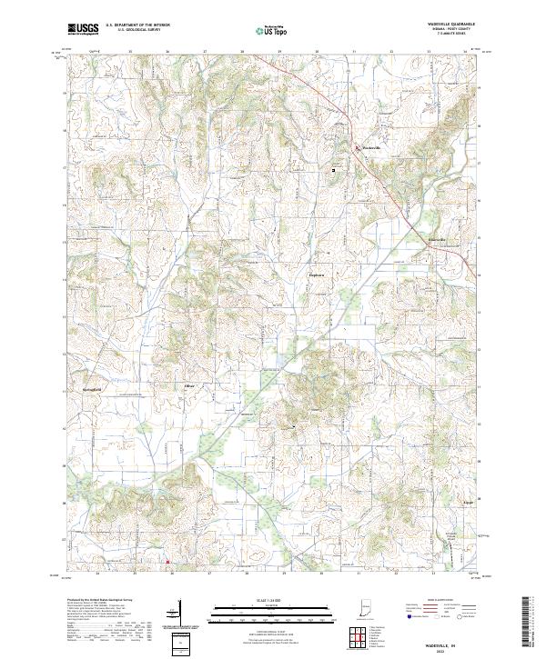
The Ohio River forms the southern boundary of this landscape, where the state line between Indiana and Kentucky follows the river's winding course. The lowlands north of the river are defined by an intricate network of drainage systems, including Cypress Slough, Schieber Ditch, and Persimmon-Bond Ditch, which manage the water levels around Goose Pond. This area is marked by a transition from the river bottomlands to the agricultural uplands where the small settlements of Bufkin and Caborn are located.
Find a feature on this map
92 named features on this map. Tap any name to fly to it.
Don’t see what you’re looking for? This feature index may not catch every label — zoom into the map to look around manually.
Map Details
Editions of this 2022 Caborn Map
This is the sole edition of this map. No revisions or reprints were ever made.
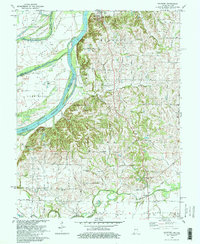
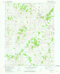
Historical Maps of Mount Vernon Through Time
21 maps found
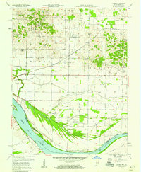
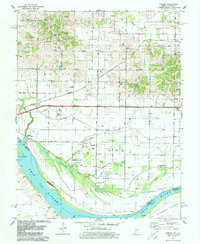
1957 Caborn
Posey County, IN
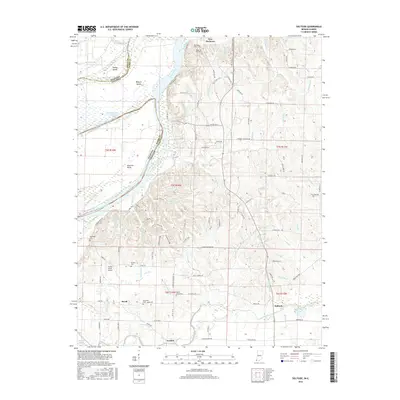
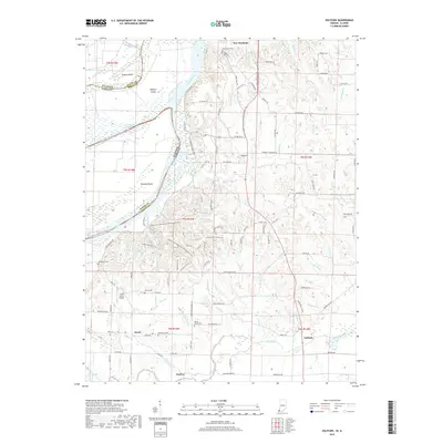
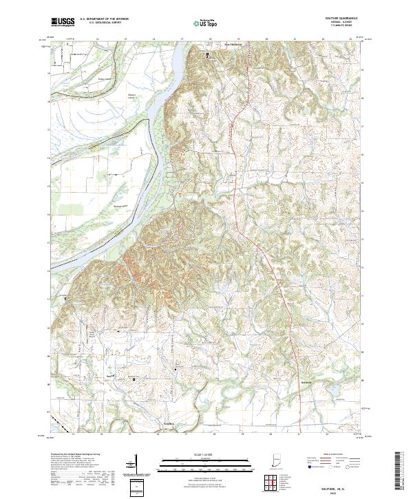
1959 Solitude
Posey County, IN
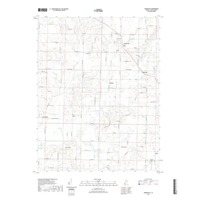
1959 Wadesville
Posey County, IN
1978 Caborn
Posey County, IN
1981 Solitude
Posey County, IN
1981 Wadesville
Posey County, IN
2010 Caborn
Posey County, IN
2010 Solitude
Posey County, IN
2010 Wadesville
Posey County, IN
2013 Caborn
Posey County, IN
2013 Solitude
Posey County, IN
2013 Wadesville
Posey County, IN
2016 Caborn
Posey County, IN
2016 Solitude
Posey County, IN
2016 Wadesville
Posey County, IN
2019 Caborn
Posey County, IN
2019 Solitude
Posey County, IN
2019 Wadesville
Posey County, IN
2022 Caborn
Posey County, IN
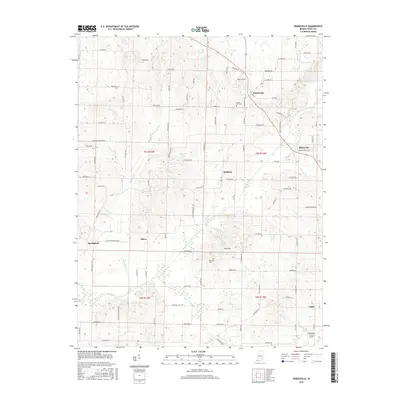
2022 Solitude
Posey County, IN
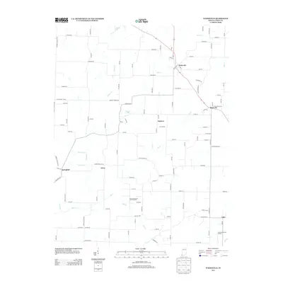
2022 Wadesville
Posey County, IN