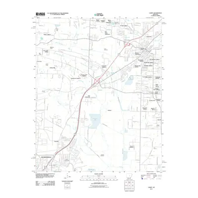
2011 Map of Cabot
USGS Topo · Published 2011About this map
Cabot and the northern edge of Jacksonville anchor this 2011 survey, revealing a landscape defined by rapid residential expansion into the lowlands of central Arkansas. The geography is structured by the prominent Backbone Ridge and Mill Ridge to the west, while the eastern portions transition into the fertile Ford Bottoms and Holland Bottoms. Numerous residential developments like the Crestwood, Bel-Aire Subdivision, and The Heights Addition reflect the modern growth of these commuter communities.
Find a feature on this map
109 named features on this map. Tap any name to fly to it.
Don’t see what you’re looking for? This feature index may not catch every label — zoom into the map to look around manually.
Map Details
Editions of this 2011 Cabot Map
This is the sole edition of this map. No revisions or reprints were ever made.
Other maps of this area

1891 · Little Rock
USGS Topo · 1:125,000

1893 · Little Rock
USGS Topo · 1:125,000
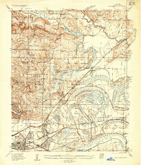
1935 · Mc Almont
USGS Topo · 1:24,000
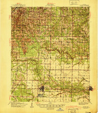
1940 · Lonoke
USGS Topo · 1:62,500
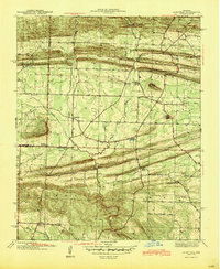
1941 · Olmstead
USGS Topo · 1:31,680
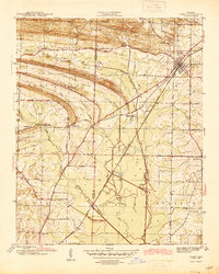
1941 · Cabot
USGS Topo · 1:31,680
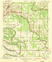
1943 · Jacksonville
USGS Topo · 1:31,680

1948 · Helena
USGS Topo · 1:250,000
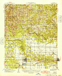
1949 · Lonoke
USGS Topo · 1:62,500

1950 · Helena
USGS Topo · 1:250,000