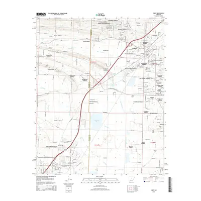
2014 Map of Cabot
USGS Topo · Published 2014About this map
Cabot and its surrounding residential expansions dominate this landscape, illustrating the rapid suburbanization along the corridor of the Bill Foster Memorial Hwy. The map details numerous residential developments such as Glenwood Estates and Sunland Estates, which sit alongside established rural landmarks like Concord Cem and Pickthorne Lake. This area of Pulaski and Lonoke counties is defined by its complex drainage network, where the waters of Bayou Two Prairie and Jacks Bayou traverse a mix of forested lowlands and modern subdivisions.
Find a feature on this map
91 named features on this map. Tap any name to fly to it.
Don’t see what you’re looking for? This feature index may not catch every label — zoom into the map to look around manually.
Map Details
Editions of this 2014 Cabot Map
This is the sole edition of this map. No revisions or reprints were ever made.
Other maps of this area

1891 · Little Rock
USGS Topo · 1:125,000

1893 · Little Rock
USGS Topo · 1:125,000

1935 · Mc Almont
USGS Topo · 1:24,000

1940 · Lonoke
USGS Topo · 1:62,500

1941 · Olmstead
USGS Topo · 1:31,680

1941 · Cabot
USGS Topo · 1:31,680

1943 · Jacksonville
USGS Topo · 1:31,680

1948 · Helena
USGS Topo · 1:250,000

1949 · Lonoke
USGS Topo · 1:62,500

1950 · Helena
USGS Topo · 1:250,000