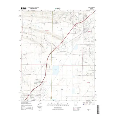
2017 Map of Cabot
USGS Topo · Published 2017About this map
Cabot and the northern reaches of Jacksonville anchor this landscape where the Arkansas delta begins its transition into the interior hills. The area is defined by a series of low ridges, including Backbone Ridge, Mill Ridge, and Living Ridge, which separate the floodplains of Bayou Two Prairie and Jacks Bayou. These waterways feed numerous local impoundments such as Pickthorne Lake and Sheaffer Lake. Smaller settlements and historic communities like Holland, Toneyville, and Parnell are scattered across the quadrangle, connected by an extensive network of county roads. Genealogical interest is found in well-placed sites like Concord Cem and Bayou Meto Cem. The map also details the proximity of the Little Rock Air Force Base and the Quapaw Mineral Springs, illustrating the mixture of military presence, natural resources, and residential expansion.
Find a feature on this map
215 named features on this map. Tap any name to fly to it.
Don’t see what you’re looking for? This feature index may not catch every label — zoom into the map to look around manually.
Map Details
Editions of this 2017 Cabot Map
This is the sole edition of this map. No revisions or reprints were ever made.
Other maps of this area

1891 · Little Rock
USGS Topo · 1:125,000

1893 · Little Rock
USGS Topo · 1:125,000

1935 · Mc Almont
USGS Topo · 1:24,000

1940 · Lonoke
USGS Topo · 1:62,500

1941 · Olmstead
USGS Topo · 1:31,680

1941 · Cabot
USGS Topo · 1:31,680

1943 · Jacksonville
USGS Topo · 1:31,680

1948 · Helena
USGS Topo · 1:250,000

1949 · Lonoke
USGS Topo · 1:62,500

1950 · Helena
USGS Topo · 1:250,000