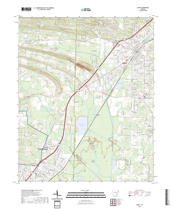
2024 Map of Cabot
USGS Topo · Published 2024About this map
Cabot serves as the central hub of this contemporary survey, showing a landscape defined by its position along the Pulaski and Lonoke County line. The map highlights the sprawling extent of the Little Rock Air Force Base in the southwest, transitioning into the residential and agricultural outskirts of Jacksonville. Between these urban centers, small communities like Holland and Toneyville remain distinct among the wetlands and bottomlands.
Find a feature on this map
62 named features on this map. Tap any name to fly to it.
Don’t see what you’re looking for? This feature index may not catch every label — zoom into the map to look around manually.
Map Details
Editions of this 2024 Cabot Map
This is the sole edition of this map. No revisions or reprints were ever made.
Other maps of this area

1891 · Little Rock
USGS Topo · 1:125,000

1893 · Little Rock
USGS Topo · 1:125,000

1935 · Mc Almont
USGS Topo · 1:24,000

1940 · Lonoke
USGS Topo · 1:62,500

1941 · Olmstead
USGS Topo · 1:31,680

1941 · Cabot
USGS Topo · 1:31,680

1943 · Jacksonville
USGS Topo · 1:31,680

1948 · Helena
USGS Topo · 1:250,000

1949 · Lonoke
USGS Topo · 1:62,500

1950 · Helena
USGS Topo · 1:250,000