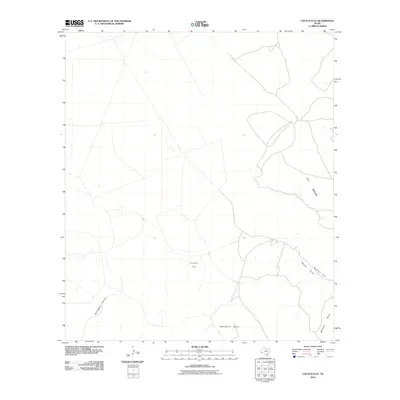
2010 Map of Cactus Flat
USGS Topo · Published 2010About this map
Cactus Flat sits within a landscape defined by high West Texas plateaus and the drainage patterns typical of Presidio County. This 2010 survey records a transition from the elevated OT Mesa in the northeast to the significant landforms of Whirlwind Mesa and Mitchell Mesa in the south. The terrain is deeply incised by water features like Bootlegger Canyon and Walnut Draw, which channel runoff toward lower elevations through natural breaks in the topography. A notable geographic feature is Rustlers Gap, a narrow pass between the mesas that likely dictated historical movement through this arid environment. The map details a network of local roads and 4WD tracks that connect these isolated features, illustrating the modern management of this high-desert ranching and wildlife area.
Find a feature on this map
7 named features on this map. Tap any name to fly to it.
Don’t see what you’re looking for? This feature index may not catch every label — zoom into the map to look around manually.
Map Details
Editions of this 2010 Cactus Flat Map
This is the sole edition of this map. No revisions or reprints were ever made.
Other maps of this area

1895 · Alpine
USGS Topo · 1:125,000

1917 · Buck Hill
USGS Topo · 1:62,500

1918 · Buck Hill
USGS Topo · 1:62,500

1918 · Jordan Gap
USGS Topo · 1:62,500

1925 · Buck Hill
USGS Topo · 1:62,500

1930 · Jordan Gap
USGS Topo · 1:62,500

1954 · Fort Stockton
USGS Topo · 1:250,000

1958 · Fort Stockton
USGS Topo · 1:250,000

1959 · Emory Peak
USGS Topo · 1:250,000

1965 · Emory Peak
USGS Topo · 1:250,000