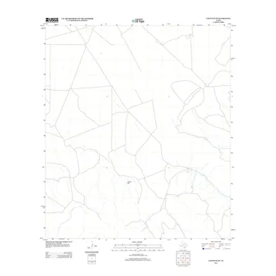
2012 Map of Cactus Flat
USGS Topo · Published 2012About this map
Cactus Flat characterizes this arid portion of Presidio County, defined by a sparse network of ranch roads and ephemeral watercourses. This 2012 survey by the U.S. Geological Survey documents a landscape where traditional land use and modern cartographic precision meet. The terrain is dominated by the broad, low-lying expanse of Cactus Flat, which serves as a natural drainage basin for the surrounding high desert. The lack of concentrated settlements or industrial infrastructure reflects the enduring character of this remote West Texas region, where property boundaries and unimproved roads form the primary human imprint on the land.
Find a feature on this map
1 named feature on this map. Tap any name to fly to it.
Don’t see what you’re looking for? This feature index may not catch every label — zoom into the map to look around manually.
Map Details
Editions of this 2012 Cactus Flat Map
This is the sole edition of this map. No revisions or reprints were ever made.
Other maps of this area

1895 · Alpine
USGS Topo · 1:125,000

1917 · Buck Hill
USGS Topo · 1:62,500

1918 · Buck Hill
USGS Topo · 1:62,500

1918 · Jordan Gap
USGS Topo · 1:62,500

1925 · Buck Hill
USGS Topo · 1:62,500

1930 · Jordan Gap
USGS Topo · 1:62,500

1954 · Fort Stockton
USGS Topo · 1:250,000

1958 · Fort Stockton
USGS Topo · 1:250,000

1959 · Emory Peak
USGS Topo · 1:250,000

1965 · Emory Peak
USGS Topo · 1:250,000