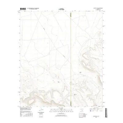
2016 Map of Cactus Flat
USGS Topo · Published 2016About this map
Cactus Flat sits within a high-elevation landscape where the vast horizons of the Chihuahuan Desert meet the rising contours of Whirlwind Mesa. This modern survey documents the sparse but critical infrastructure of Far West Texas, defined largely by the boundary separating Presidio County and Brewster County. The movement of water, a primary shaper of this terrain, is recorded along Walnut Draw, while human passage is channeled through the long, straight stretch of Escondido Rd. The map illustrates the characteristic isolation of the Big Bend region, where named landmarks often refer to distinct topographic shifts or seasonal drainage paths rather than established settlements. Researchers can trace the subtle relationship between the flat valley floor and the complex canyon systems that begin to carve into the mesa to the east.
Find a feature on this map
5 named features on this map. Tap any name to fly to it.
Don’t see what you’re looking for? This feature index may not catch every label — zoom into the map to look around manually.
Map Details
Editions of this 2016 Cactus Flat Map
This is the sole edition of this map. No revisions or reprints were ever made.
Other maps of this area

1895 · Alpine
USGS Topo · 1:125,000

1917 · Buck Hill
USGS Topo · 1:62,500

1918 · Buck Hill
USGS Topo · 1:62,500

1918 · Jordan Gap
USGS Topo · 1:62,500

1925 · Buck Hill
USGS Topo · 1:62,500

1930 · Jordan Gap
USGS Topo · 1:62,500

1954 · Fort Stockton
USGS Topo · 1:250,000

1958 · Fort Stockton
USGS Topo · 1:250,000

1959 · Emory Peak
USGS Topo · 1:250,000

1965 · Emory Peak
USGS Topo · 1:250,000