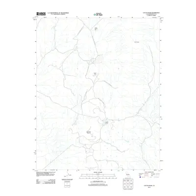
2012 Map of Cactus Peak
USGS Topo · Published 2012About this map
China Lake Naval Weapons Ctr dominates this section of the High Desert, indicating the significant military presence and restricted land use in Inyo County during the early 21st century. The landscape is defined by its geothermal and volcanic characteristics, most notably at the Coso Hot Springs and the nearby Devils Kitchen, where thermal activity has long been a focal point for the region. These natural features sit within the broader Coso Range, a territory marked by distinct peaks and basins.
Find a feature on this map
10 named features on this map. Tap any name to fly to it.
Don’t see what you’re looking for? This feature index may not catch every label — zoom into the map to look around manually.
Map Details
Editions of this 2012 Cactus Peak Map
This is the sole edition of this map. No revisions or reprints were ever made.
Other maps of this area

1908 · Ballarat
USGS Topo · 1:250,000

1913 · Ballarat
USGS Topo · 1:250,000

1915 · Searles Lake
USGS Topo · 1:250,000

1947 · Trona
USGS Topo · 1:250,000

1948 · Trona
USGS Topo · 1:250,000

1948 · Death Valley
USGS Topo · 1:250,000

1951 · Haiwee Reservoir
USGS Topo · 1:62,500

1951 · Coso Peak
USGS Topo · 1:62,500

1953 · Mountain Springs Canyon
USGS Topo · 1:62,500

1953 · Trona
USGS Topo · 1:250,000