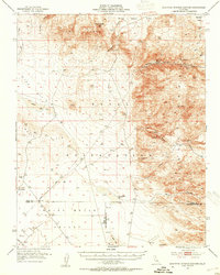
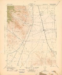
1953 Map of Mountain Springs Canyon
USGS Topo · Published 1954About this map
Volcano Butte and the high desert peaks of the Coso Range dominate this mid-century topographic survey of the California high desert. This era of mapping reveals a landscape shaped by both geological extremes and a persistent search for mineral wealth, with numerous operations like the Pumice Mine, Mammoth Mine, and the Star of the West Mine dotting the canyons. The presence of the Naval Ordnance Test Station across the lower quadrangle reflects the area's mid-century military significance, while the Paxton Ranch (Site) and Mountain Spring Ruins provide markers for researchers tracking earlier homesteading and travel routes. Drainage patterns are clearly defined through Wilson Canyon and Burro Canyon, eventually descending toward the basins of Airport Lake and China Lake. The transition between Inyo, Kern, and San Bernardino counties is meticulously documented here, showing the remote connection points of the Darwin Road and Renegade Road.
Find a feature on this map
29 named features on this map. Tap any name to fly to it.
Don’t see what you’re looking for? This feature index may not catch every label — zoom into the map to look around manually.
Map Details
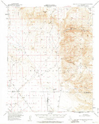
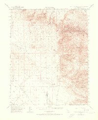
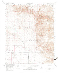
Editions of this 1953 Mountain Springs Canyon Map
4 editions found
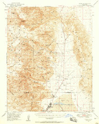
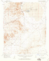
Other maps of this area

1908 · Ballarat
USGS Topo · 1:250,000

1913 · Ballarat
USGS Topo · 1:250,000

1915 · Searles Lake
USGS Topo · 1:250,000
1943 · Inyokern
USGS Topo · 1:62,500

1947 · Trona
USGS Topo · 1:250,000

1948 · Trona
USGS Topo · 1:250,000

1948 · Death Valley
USGS Topo · 1:250,000
1949 · Trona
USGS Topo · 1:62,500
1949 · Searles Lake
USGS Topo · 1:62,500
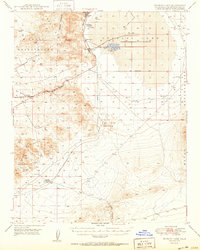
1950 · Searles Lake
USGS Topo · 1:62,500