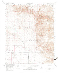
1953 Map of Mountain Springs Canyon
USGS Topo · Published 1983About this map
Coso Range and Argus Range dominate this mid-century desert landscape, illustrating a region defined by high-altitude mining and military isolation. The eastern slopes of the Argus Range are dotted with extractive history, featuring the Mammoth Mine, Wild Rose Mine, and the Star of the West Mine tucked into steep canyons. These sites suggest a period of intense prospecting and mineral development within the high desert terrain.
Find a feature on this map
26 named features on this map. Tap any name to fly to it.
Don’t see what you’re looking for? This feature index may not catch every label — zoom into the map to look around manually.
Map Details
Editions of this 1953 Mountain Springs Canyon Map
4 editions found

Other maps of this area

1908 · Ballarat
USGS Topo · 1:250,000

1913 · Ballarat
USGS Topo · 1:250,000

1915 · Searles Lake
USGS Topo · 1:250,000

1943 · Inyokern
USGS Topo · 1:62,500

1947 · Trona
USGS Topo · 1:250,000

1948 · Trona
USGS Topo · 1:250,000

1948 · Death Valley
USGS Topo · 1:250,000

1949 · Trona
USGS Topo · 1:62,500

1949 · Searles Lake
USGS Topo · 1:62,500

1950 · Searles Lake
USGS Topo · 1:62,500