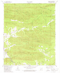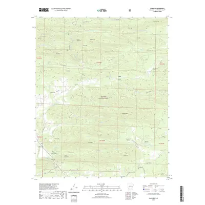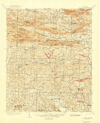
1906 Map of Caddo Gap
USGS Topo · Published 1946About this map
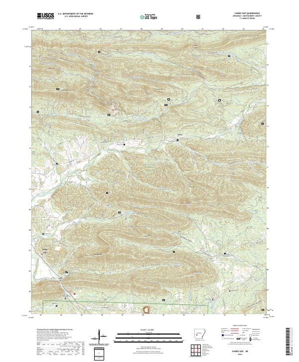
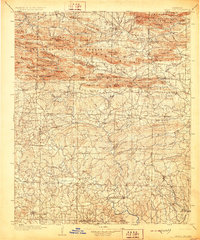
The Caddo River carves its path through the complex ridges of the Ouachita Mountains in this survey based on data from 1901 to 1903. The landscape is defined by the prominent Missouri Mountains and Crystal Mountains, where early 20th-century life centered around isolated gaps and small river settlements. To the south, the terrain levels out into a network of farming and timber communities, including Pike City, Brocktown, and Stelltown. The presence of Stevensons Camp and Tokio in the southern reaches highlights the transition from the high-relief interior to the rolling hills of the coastal plain. For researchers, the map provides an essential look at a region where the geography dictated the placement of roads and towns, many of which were tied to the extraction of resources or early logging operations, such as those near Slatington and Fancy Hill.
Find a feature on this map
137 named features on this map. Tap any name to fly to it.
Don’t see what you’re looking for? This feature index may not catch every label — zoom into the map to look around manually.
Map Details
Editions of this 1906 Caddo Gap Map
3 editions found
Historical Maps of Murfreesboro Through Time
7 maps found