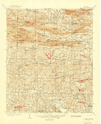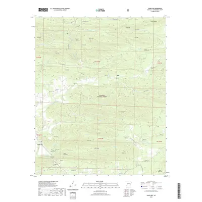
1979 Map of Caddo Gap
USGS Topo · Published 1980About this map
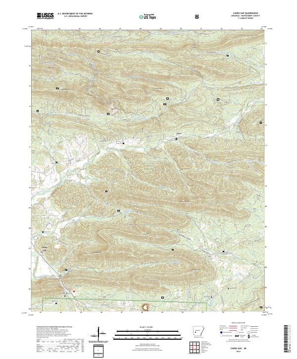
Caddo River drainage patterns and the heavy timber of the Ouachita National Forest define this landscape in the late 1970s. The settlement of Caddo Gap sits as a focal point where the Missouri Pacific railroad corridor follows the river's bend, flanked by the Crystal Mountains and Caddo Mountains. This topography created a natural crossroads for early transport and industry, evidenced by the numerous small family burial grounds and quarries scattered throughout the valley floors and ridges.
Find a feature on this map
54 named features on this map. Tap any name to fly to it.
Don’t see what you’re looking for? This feature index may not catch every label — zoom into the map to look around manually.
Map Details
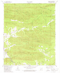
Editions of this 1979 Caddo Gap Map
This is the sole edition of this map. No revisions or reprints were ever made.
Historical Maps of Plata Through Time
7 maps found