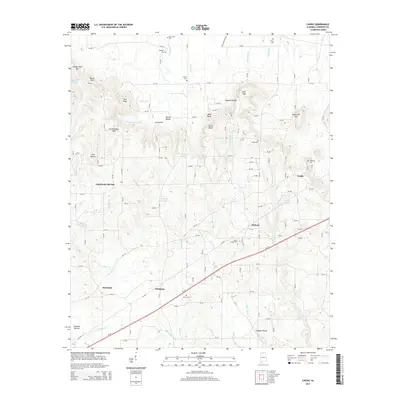
2014 Map of Caddo
USGS Topo · Published 2014About this map
Chalybeate Springs and the surrounding rural communities of Lawrence and Alabama counties are documented here in the early twenty-first century. The landscape is defined by its numerous family and community burial grounds, including Morris Chapel Cem, Thrasher Cem, and Vaughan Cem, reflecting generations of settlement in this part of North Alabama. The terrain transitions from the elevations of Union Hill Mtn and Chicken Foot Mtn down into fertile bottoms like Saltwell Bottom and Happy Hollow. Water sources are abundant, with numerous springs such as Sulphur Spring, Ready Spring, and the mineral waters of Chalybeate Spring feeding the local creek system. The passage of Al-24 through the southern half of the map connects the hamlets of Pittsburg and Midway, serving as a modern artery through a land still characterized by its hollows and ridges.
Find a feature on this map
139 named features on this map. Tap any name to fly to it.
Don’t see what you’re looking for? This feature index may not catch every label — zoom into the map to look around manually.
Map Details
Editions of this 2014 Caddo Map
This is the sole edition of this map. No revisions or reprints were ever made.
Other maps of this area

1935 · Moulton
USGS Topo · 1:24,000

1935 · Danville
USGS Topo · 1:48,000

1935 · Oakville
USGS Topo · 1:24,000

1936 · Caddo
USGS Topo · 1:24,000

1936 · Stewart Cross Roads
USGS Topo · 1:24,000

1936 · Courtland
USGS Topo · 1:24,000

1936 · Trinity
USGS Topo · 1:24,000

1936 · Hillsboro
USGS Topo · 1:24,000

1936 · Moulton
USGS Topo · 1:48,000

1936 · Masterson
USGS Topo · 1:24,000