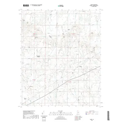
2018 Map of Caddo
USGS Topo · Published 2018About this map
Caddo and the surrounding Lawrence County uplands are defined by a complex drainage network flowing toward the Tennessee River valley. The landscape is characterized by prominent elevations such as Chicken Foot Mtn and Bald Knob, with deep incisions like Tanyard Hollow and Ivy Hollow providing local relief. This 2018 survey reveals a rural settlement pattern where communities like Midway and Harmony are interconnected by an extensive network of county roads. The importance of local water sources is evident in the naming of Chalybeate Springs and the numerous named branches, such as Fish Pond Br and Blowing Spring Br, which carve through the terrain. Genealogists will find a wealth of burial sites preserved here, including Morris Chapel Cem and Sivley Cem, alongside family-named landmarks like Goat Bluff and Bates Mtn. The map's detail provides a clear view of the rural infrastructure and the persistent geographical features that have anchored this Alabama community for generations.
Find a feature on this map
199 named features on this map. Tap any name to fly to it.
Don’t see what you’re looking for? This feature index may not catch every label — zoom into the map to look around manually.
Map Details
Editions of this 2018 Caddo Map
This is the sole edition of this map. No revisions or reprints were ever made.
Other maps of this area

1935 · Moulton
USGS Topo · 1:24,000

1935 · Danville
USGS Topo · 1:48,000

1935 · Oakville
USGS Topo · 1:24,000

1936 · Caddo
USGS Topo · 1:24,000

1936 · Stewart Cross Roads
USGS Topo · 1:24,000

1936 · Courtland
USGS Topo · 1:24,000

1936 · Trinity
USGS Topo · 1:24,000

1936 · Hillsboro
USGS Topo · 1:24,000

1936 · Moulton
USGS Topo · 1:48,000

1936 · Masterson
USGS Topo · 1:24,000