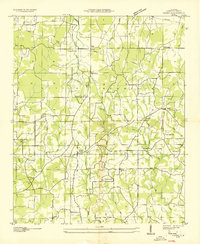
1936 Map of Caddo
USGS Topo · Published 1936About this map
The Tennessee Valley Authority and the Geological Survey documented this portion of Lawrence County in the mid-1930s, revealing a rural landscape defined by the prominent ridge of Little Mountain. The region is densely populated with small community centers centered on wood-frame institutions, notably around Caddo and the Lentz Store crossroads. Many of these hubs are anchored by local spiritual and educational landmarks, such as Antioch Ch, Morris Chapel, and College Grove Sch.
Find a feature on this map
36 named features on this map. Tap any name to fly to it.
Don’t see what you’re looking for? This feature index may not catch every label — zoom into the map to look around manually.
Map Details
Editions of this 1936 Caddo Map
This is the sole edition of this map. No revisions or reprints were ever made.
Other maps of this area
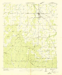
1935 · Moulton
USGS Topo · 1:24,000
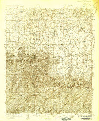
1935 · Danville
USGS Topo · 1:48,000
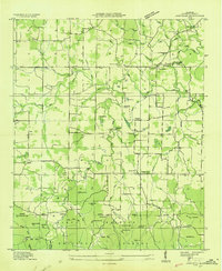
1935 · Oakville
USGS Topo · 1:24,000
1936 · Stewart Cross Roads
USGS Topo · 1:24,000
1936 · Courtland
USGS Topo · 1:24,000
1936 · Trinity
USGS Topo · 1:24,000
1936 · Hillsboro
USGS Topo · 1:24,000
1936 · Moulton
USGS Topo · 1:48,000
1936 · Masterson
USGS Topo · 1:24,000
1936 · Stroups Crossroads
USGS Topo · 1:24,000