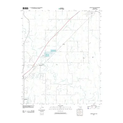
2010 Map of Caddo South
USGS Topo · Published 2010About this map
The Blue River winds through the heart of this Oklahoma landscape, anchoring the essential water infrastructure for the surrounding settlements. Key industrial and municipal markers include the Blue River Dam and the Durant Waterworks, which illustrate the region's managed water resources. To the north, the town of Caddo stands near the headwaters of Caddo Creek, while the smaller communities of Wasseta and Armstrong are situated along the path of Old Hwy 69.
Find a feature on this map
49 named features on this map. Tap any name to fly to it.
Don’t see what you’re looking for? This feature index may not catch every label — zoom into the map to look around manually.
Map Details
Editions of this 2010 Caddo South Map
This is the sole edition of this map. No revisions or reprints were ever made.
Other maps of this area

1899 · Atoka
USGS Topo · 1:125,000

1900 · Atoka
USGS Topo · 1:125,000

1954 · Sherman
USGS Topo · 1:250,000

1957 · Wade
USGS Topo · 1:62,500

1957 · Ardmore
USGS Topo · 1:250,000

1958 · Durant
USGS Topo · 1:62,500

1958 · Sherman
USGS Topo · 1:250,000

1963 · Ardmore
USGS Topo · 1:250,000

1968 · Caddo NW
USGS Topo · 1:24,000
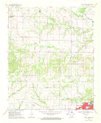
1968 · Durant North
USGS Topo · 1:24,000