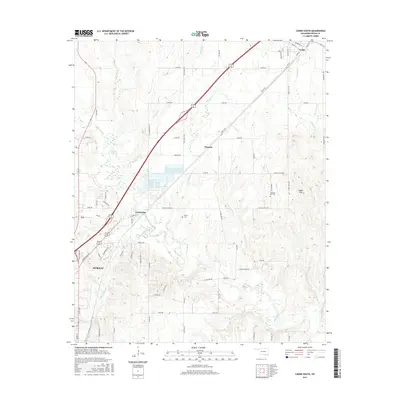
2016 Map of Caddo South
USGS Topo · Published 2016About this map
The Blue River and its intricate network of tributaries define the landscape north of Durant in this modern topographic survey. The area transitions from the developing northern edge of the city into the cattle and agricultural lands of Bryan County, where smaller settlements like Armstrong and Wasseta are linked by a grid of rural roads and the prominent diagonal of Highway 69/75. In the eastern portion of the map, the terrain rises into the Caddo Hills, where the land becomes more dissected by drainage systems such as Sandy Cr and Harrington Cr. Genealogical interest is found at the Pleasant Hill Cem and Brown Cem, while the northern margin includes the town of Caddo, showing its traditional street grid near the headwaters of Caddo Cr. The map captures the persistence of small rural communities and family-named landmarks amid the broader growth of the region.
Find a feature on this map
76 named features on this map. Tap any name to fly to it.
Don’t see what you’re looking for? This feature index may not catch every label — zoom into the map to look around manually.
Map Details
Editions of this 2016 Caddo South Map
This is the sole edition of this map. No revisions or reprints were ever made.
Other maps of this area

1899 · Atoka
USGS Topo · 1:125,000

1900 · Atoka
USGS Topo · 1:125,000

1954 · Sherman
USGS Topo · 1:250,000

1957 · Wade
USGS Topo · 1:62,500

1957 · Ardmore
USGS Topo · 1:250,000

1958 · Durant
USGS Topo · 1:62,500

1958 · Sherman
USGS Topo · 1:250,000

1963 · Ardmore
USGS Topo · 1:250,000

1968 · Caddo NW
USGS Topo · 1:24,000
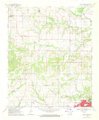
1968 · Durant North
USGS Topo · 1:24,000