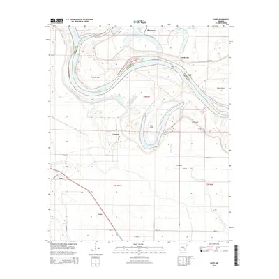
2014 Map of Cades
USGS Topo · Published 2014About this map
Arkansas River oxbows and bottomlands dominate this section of the Arkansas Delta, where the river's shifting course defines the border between Jefferson and Lincoln Counties. The landscape is marked by the legacy of river movement, seen in features like Lake Bend, Douglas Old River Lake, and the prominent Cummins Bend. The settlement pattern follows the higher ground and drainage of the bayous, with Little Bayou Meto and Oakwood Bayou threading through the agricultural landscape. Small communities and historical landing points such as Douglas, Cummins, and Varner serve as focal points for local history. For genealogists, the map identifies several rural burial sites including Douglas Cem, Lee Cem, Rice Cem, and Ross Cem, providing essential coordinates for family research in this river-dependent region.
Find a feature on this map
52 named features on this map. Tap any name to fly to it.
Don’t see what you’re looking for? This feature index may not catch every label — zoom into the map to look around manually.
Map Details
Editions of this 2014 Cades Map
This is the sole edition of this map. No revisions or reprints were ever made.
Other maps of this area

1935 · Varner
USGS Topo · 1:62,500

1935 · Rotan
USGS Topo · 1:62,500

1935 · Red Fork
USGS Topo · 1:62,500

1935 · Gillett
USGS Topo · 1:62,500

1948 · Helena
USGS Topo · 1:250,000

1950 · Helena
USGS Topo · 1:250,000

1953 · Greenwood
USGS Topo · 1:250,000

1955 · Helena
USGS Topo · 1:250,000

1956 · Greenwood
USGS Topo · 1:250,000

1959 · Helena
USGS Topo · 1:250,000