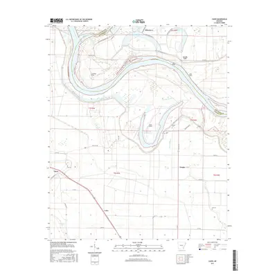
2017 Map of Cades
USGS Topo · Published 2017About this map
The Arkansas River carves a dramatic path through this section of the Arkansas Delta, defining a landscape of oxbow lakes and alluvial bottomlands at the Lincoln and Jefferson County line. The meandering river has left behind significant remnants of its former course, most notably at Douglas Old River Lake and Lake Bend, while Cummins Bend remains a prominent feature of the modern waterway.
Find a feature on this map
52 named features on this map. Tap any name to fly to it.
Don’t see what you’re looking for? This feature index may not catch every label — zoom into the map to look around manually.
Map Details
Editions of this 2017 Cades Map
This is the sole edition of this map. No revisions or reprints were ever made.
Other maps of this area

1935 · Varner
USGS Topo · 1:62,500

1935 · Rotan
USGS Topo · 1:62,500

1935 · Red Fork
USGS Topo · 1:62,500

1935 · Gillett
USGS Topo · 1:62,500

1948 · Helena
USGS Topo · 1:250,000

1950 · Helena
USGS Topo · 1:250,000

1953 · Greenwood
USGS Topo · 1:250,000

1955 · Helena
USGS Topo · 1:250,000

1956 · Greenwood
USGS Topo · 1:250,000

1959 · Helena
USGS Topo · 1:250,000