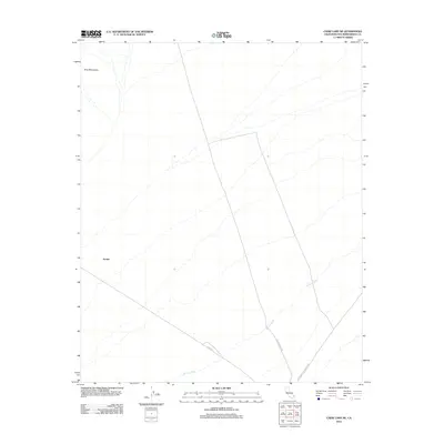
2012 Map of Cadiz Lake NE
USGS Topo · Published 2012About this map
Ship Mountains anchor the northwestern corner of this Mojave Desert landscape, casting shadows across a vast alluvial expanse defined by dry drainage networks. The settlement at Archer sits near the base of these heights, where the terrain begins its long slope toward the basins to the south. This 2012 survey illustrates a region where life and transport are dictated by the desert floor, with the winding paths of Browns Wash carving a seasonal hydrologic pattern through the arid surface.
Find a feature on this map
6 named features on this map. Tap any name to fly to it.
Don’t see what you’re looking for? This feature index may not catch every label — zoom into the map to look around manually.
Map Details
Editions of this 2012 Cadiz Lake NE Map
This is the sole edition of this map. No revisions or reprints were ever made.
Other maps of this area

1942 · Amboy
USGS Topo · 1:250,000

1943 · Amboy
USGS Topo · 1:250,000

1943 · Essex
USGS Topo · 1:62,500

1943 · Danby
USGS Topo · 1:62,500

1943 · Cadiz Lake
USGS Topo · 1:62,500

1954 · Needles
USGS Topo · 1:250,000

1956 · Needles
USGS Topo · 1:250,000

1956 · Milligan
USGS Topo · 1:62,500

1956 · Essex
USGS Topo · 1:62,500

1956 · Cadiz Lake
USGS Topo · 1:62,500