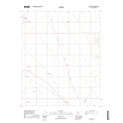
2018 Map of Cadiz Lake NE
USGS Topo · Published 2018About this map
Archer stands as a focal point in this arid stretch of the Mojave Desert, where desert transportation routes converge against a backdrop of prominent landforms. The Ship Mountains dominate the northwestern corner, giving way to the broad expanse of the Cadiz Valley and the dry drainage of Browns Wash. This 2018 survey illustrates the modern configuration of historic desert corridors, including Skeleton Pass Rd, Cadiz Rd, and the curiously named Old Woman Meteorite Rd. The layout of these roads and the sparse settlement at Archer reveal how human activity is channeled through the natural gaps and valleys of the San Bernardino high desert, maintaining essential links across an otherwise forbidding landscape of alluvial fans and mountain ranges.
Find a feature on this map
14 named features on this map. Tap any name to fly to it.
Don’t see what you’re looking for? This feature index may not catch every label — zoom into the map to look around manually.
Map Details
Editions of this 2018 Cadiz Lake NE Map
This is the sole edition of this map. No revisions or reprints were ever made.
Other maps of this area

1942 · Amboy
USGS Topo · 1:250,000

1943 · Amboy
USGS Topo · 1:250,000

1943 · Essex
USGS Topo · 1:62,500

1943 · Danby
USGS Topo · 1:62,500

1943 · Cadiz Lake
USGS Topo · 1:62,500

1954 · Needles
USGS Topo · 1:250,000

1956 · Needles
USGS Topo · 1:250,000

1956 · Milligan
USGS Topo · 1:62,500

1956 · Essex
USGS Topo · 1:62,500

1956 · Cadiz Lake
USGS Topo · 1:62,500