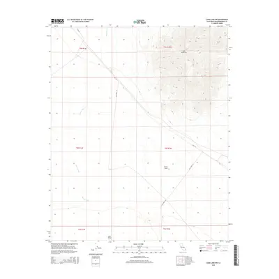
2015 Map of Cadiz Lake NW
USGS Topo · Published 2015About this map
Ship Mountains dominate the northeastern portion of this landscape, rising sharply from the surrounding alluvial fans and desert floor. This 2015 U.S. Geological Survey representation of San Bernardino County shows a largely undeveloped expanse of the Mojave Desert, where drainage patterns are defined by the intermittent flow of Watson Wash. The wash cuts southward through the terrain, eventually reaching the lower elevations of the Cadiz Valley at the southern edge of the sheet.
Find a feature on this map
12 named features on this map. Tap any name to fly to it.
Don’t see what you’re looking for? This feature index may not catch every label — zoom into the map to look around manually.
Map Details
Editions of this 2015 Cadiz Lake NW Map
This is the sole edition of this map. No revisions or reprints were ever made.
Other maps of this area

1942 · Amboy
USGS Topo · 1:250,000

1943 · Amboy
USGS Topo · 1:250,000

1943 · Danby
USGS Topo · 1:62,500

1943 · Cadiz Lake
USGS Topo · 1:62,500

1954 · Needles
USGS Topo · 1:250,000

1956 · Needles
USGS Topo · 1:250,000

1956 · Bristol Lake
USGS Topo · 1:62,500

1956 · Cadiz Lake
USGS Topo · 1:62,500

1956 · Cadiz
USGS Topo · 1:62,500

1956 · Danby
USGS Topo · 1:62,500