
1956 Map of Cadiz
USGS Topo · Published 1958About this map
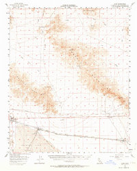
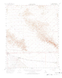
Bristol Lake dominates the southern landscape of this California desert quadrangle, where Salt Evaporators and several Water Tanks reflect the industrial reliance on the arid basin's mineral resources. Along the northern edge of the lake bed, the Atchison Topeka and Santa Fe railroad serves a string of desert outposts including Amboy, Saltus, and Cadiz. These settlements provided essential infrastructure for the railroad and nearby mining operations during the mid-century era.
Find a feature on this map
34 named features on this map. Tap any name to fly to it.
Don’t see what you’re looking for? This feature index may not catch every label — zoom into the map to look around manually.
Map Details
Editions of this 1956 Cadiz Map
3 editions found
Other maps of this area

1942 · Amboy
USGS Topo · 1:250,000

1943 · Amboy
USGS Topo · 1:250,000

1943 · Danby
USGS Topo · 1:62,500

1943 · Cadiz Lake
USGS Topo · 1:62,500

1954 · Needles
USGS Topo · 1:250,000

1954 · Bristol Lake NW
USGS Topo · 1:24,000

1954 · Amboy Crater
USGS Topo · 1:24,000

1955 · Lead Mtn. NE
USGS Topo · 1:24,000

1955 · Lead Mountain
USGS Topo · 1:62,500

1956 · Needles
USGS Topo · 1:250,000