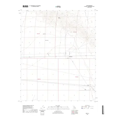
2018 Map of Cadiz
USGS Topo · Published 2018About this map
The Marble Mountains dominate the northern landscape of this region, providing a sharp contrast to the open expanse of the Mojave Desert and Cadiz Valley below. This survey captures a remote section of San Bernardino County where infrastructure is defined by long, straight desert corridors like Cadiz Rd and Moneta Rd. The tiny settlements of Chambless and Cadiz stand as rare points of habitation along the transportation routes that cross this arid terrain.
Find a feature on this map
16 named features on this map. Tap any name to fly to it.
Don’t see what you’re looking for? This feature index may not catch every label — zoom into the map to look around manually.
Map Details
Editions of this 2018 Cadiz Map
This is the sole edition of this map. No revisions or reprints were ever made.
Other maps of this area

1942 · Amboy
USGS Topo · 1:250,000

1943 · Amboy
USGS Topo · 1:250,000

1943 · Danby
USGS Topo · 1:62,500

1943 · Cadiz Lake
USGS Topo · 1:62,500

1954 · Needles
USGS Topo · 1:250,000

1954 · Bristol Lake NW
USGS Topo · 1:24,000

1956 · Needles
USGS Topo · 1:250,000

1956 · Bristol Lake
USGS Topo · 1:62,500

1956 · Cadiz Lake
USGS Topo · 1:62,500

1956 · Cadiz
USGS Topo · 1:62,500