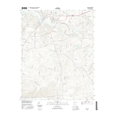
2016 Map of Cadiz
USGS Topo · Published 2016About this map
Cadiz serves as a central hub for the Little River and its numerous tributaries as they wind toward the northwestern reaches of Lake Barkley. The landscape is defined by its intricate drainage patterns, including Donaldson Cr, Burge Creek, and the Sinking Fork, which carve through the terrain east and south of the town center. Local history is anchored by sites like Jefferson Cem and Ezell Cem, while the area's transportation and utility are represented by Lowe Airport and a dense network of roads such as Hopkinsville Rd and Glennwood Mill Rd. This 2016 survey illustrates the modern residential development and infrastructure that has grown around traditional watercourses like Belford Spring and Beechy Fork, maintaining a balance between the settled town and the surrounding watershed.
Find a feature on this map
94 named features on this map. Tap any name to fly to it.
Don’t see what you’re looking for? This feature index may not catch every label — zoom into the map to look around manually.
Map Details
Editions of this 2016 Cadiz Map
This is the sole edition of this map. No revisions or reprints were ever made.
Other maps of this area

1950 · Caledonia
USGS Topo · 1:24,000

1951 · Caledonia
USGS Topo · 1:24,000

1951 · Model
USGS Topo · 1:24,000

1951 · Roaring Spring
USGS Topo · 1:24,000

1951 · Johnson Hollow
USGS Topo · 1:24,000

1953 · Canton
USGS Topo · 1:24,000

1953 · Gracey
USGS Topo · 1:24,000

1953 · Cobb
USGS Topo · 1:24,000
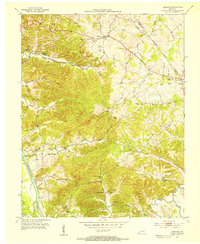
1953 · Lamasco
USGS Topo · 1:24,000
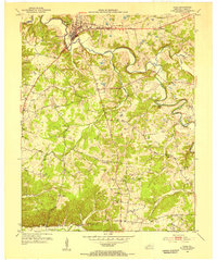
1953 · Cadiz
USGS Topo · 1:24,000