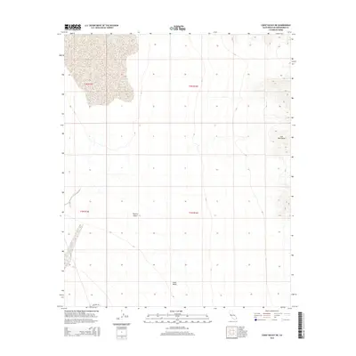
2015 Map of Cadiz Valley NE
USGS Topo · Published 2015About this map
Cadiz Valley and the Iron Mountains dominate this arid landscape within the Mojave Desert. The topography is characterized by the stark transition from the desert basin to the steep slopes of the mountains on the eastern edge of the quadrangle. While modern development is sparse, the map captures the legacy of desert navigation through the Coxcomb Trl, which cuts across the southwestern corner. The survey also preserves the Public Land Survey System grid, including boundaries for t2n r15e, t2n r16e, t1n r15e, and t1n r16e, which organize this corner of San Bernardino County for land management and mineral exploration.
Find a feature on this map
8 named features on this map. Tap any name to fly to it.
Don’t see what you’re looking for? This feature index may not catch every label — zoom into the map to look around manually.
Map Details
Editions of this 2015 Cadiz Valley NE Map
This is the sole edition of this map. No revisions or reprints were ever made.
Other maps of this area

1942 · Amboy
USGS Topo · 1:250,000

1943 · Amboy
USGS Topo · 1:250,000

1943 · Cadiz Lake
USGS Topo · 1:62,500

1943 · Cadiz Valley
USGS Topo · 1:62,500

1943 · Iron Mountains
USGS Topo · 1:62,500

1954 · Needles
USGS Topo · 1:250,000

1956 · Needles
USGS Topo · 1:250,000

1956 · Milligan
USGS Topo · 1:62,500

1956 · Iron Mountains
USGS Topo · 1:62,500

1956 · Cadiz Lake
USGS Topo · 1:62,500