
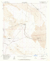
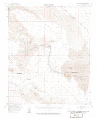
1956 Map of Iron Mountains
USGS Topo · Published 1958About this map
The Colorado River Aqueduct carves a path through this mid-century desert landscape, illustrating the massive mid-century water infrastructure projects overseen by Harvey O. Banks. The centerpiece of this system is the Iron Mountain Pumping Plant, supported by a substation and water tanks, which moves water through the Iron Mountains via a significant tunnel. To the north, the Atchison Topeka and Santa Fe railroad skirts the edge of Danby Lake, passing through the remote station at Saltmarsh. This survey captures the industrial and logistical footprint in a region dominated by the Granite Mountains and the expansive Ward Valley. Mining activity is evident near the pumping station, including the Iron Mountain Tailings and the Granite Shaft, highlighting the dual nature of the region as both a mineral resource area and a vital corridor for Southern California's water supply.
Find a feature on this map
19 named features on this map. Tap any name to fly to it.
Don’t see what you’re looking for? This feature index may not catch every label — zoom into the map to look around manually.
Map Details
Editions of this 1956 Iron Mountains Map
3 editions found
Other maps of this area

1942 · Blythe
USGS Topo · 1:250,000

1942 · Amboy
USGS Topo · 1:250,000

1943 · Amboy
USGS Topo · 1:250,000

1943 · Cadiz Lake
USGS Topo · 1:62,500

1943 · Cadiz Valley
USGS Topo · 1:62,500

1943 · Turtle Mts.
USGS Topo · 1:62,500

1943 · Iron Mountains
USGS Topo · 1:62,500

1943 · Coxcomb Mountains
USGS Topo · 1:62,500

1944 · Coxcomb Mountains
USGS Topo · 1:62,500

1945 · Midland
USGS Topo · 1:62,500