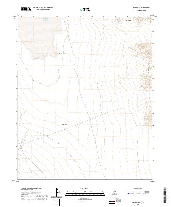
2021 Map of Cadiz Valley NE
USGS Topo · Published 2021About this map
Cadiz Valley and the northern reaches of the Mojave Desert characterize this specific portion of San Bernardino County. The terrain is defined by dramatic elevation changes, transitioning from the wide desert basin to the rising slopes of the Kilbeck Hills in the north and the Iron Mountains to the east. This 2021 update preserves the original Public Land Survey System grids, showing the township and range divisions such as t2n r15e and t1n r16e. The map illustrates a largely undeveloped desert landscape where natural topography remains the primary feature, highlighting the stark contrast between the flat valley floor and the surrounding mountain ranges. It serves as a modern record of one of the more secluded areas of the California desert, tracing the natural boundaries that have dictated movement and land use in this region for decades.
Find a feature on this map
8 named features on this map. Tap any name to fly to it.
Don’t see what you’re looking for? This feature index may not catch every label — zoom into the map to look around manually.
Map Details
Editions of this 2021 Cadiz Valley NE Map
This is the sole edition of this map. No revisions or reprints were ever made.
Other maps of this area

1942 · Amboy
USGS Topo · 1:250,000

1943 · Amboy
USGS Topo · 1:250,000

1943 · Cadiz Lake
USGS Topo · 1:62,500

1943 · Cadiz Valley
USGS Topo · 1:62,500

1943 · Iron Mountains
USGS Topo · 1:62,500

1954 · Needles
USGS Topo · 1:250,000

1956 · Needles
USGS Topo · 1:250,000

1956 · Milligan
USGS Topo · 1:62,500

1956 · Iron Mountains
USGS Topo · 1:62,500

1956 · Cadiz Lake
USGS Topo · 1:62,500