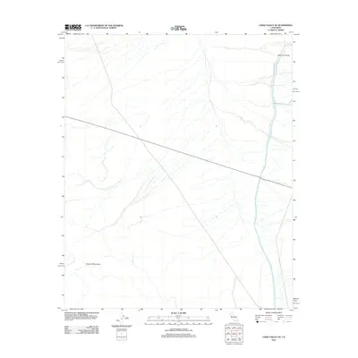
2012 Map of Cadiz Valley SE
USGS Topo · Published 2012About this map
The Colorado River Aqueduct carves a striking north-south line through this remote desert landscape, representing a critical piece of California’s hydraulic infrastructure as it appeared in 2012. This section of the waterway includes the West Iron Portal, a key transition point in the engineering system that moves water across the arid expanse. The terrain is characterized by intricate drainage patterns and alluvial fans that dominate the basin floor, where small desert washes converge and dissipate. Running east to west across the open valley is Route 62, the primary corridor for transit through this sparsely populated region of San Bernardino County. The map captures the isolation of the high desert before the surrounding mountain ranges, highlighting how modern infrastructure attempts to navigate and tame this stark environment.
Find a feature on this map
3 named features on this map. Tap any name to fly to it.
Don’t see what you’re looking for? This feature index may not catch every label — zoom into the map to look around manually.
Map Details
Editions of this 2012 Cadiz Valley SE Map
This is the sole edition of this map. No revisions or reprints were ever made.
Other maps of this area

1942 · Amboy
USGS Topo · 1:250,000

1943 · Amboy
USGS Topo · 1:250,000

1943 · Cadiz Valley
USGS Topo · 1:62,500

1943 · Iron Mountains
USGS Topo · 1:62,500

1943 · Coxcomb Mountains
USGS Topo · 1:62,500

1944 · Coxcomb Mountains
USGS Topo · 1:62,500

1952 · Palen Mountains
USGS Topo · 1:62,500

1954 · Salton Sea
USGS Topo · 1:250,000

1954 · Needles
USGS Topo · 1:250,000

1955 · Salton Sea
USGS Topo · 1:250,000