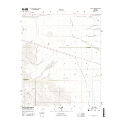
2015 Map of Cadiz Valley SE
USGS Topo · Published 2015About this map
Joshua Tree National Park occupies the southern reaches of this landscape, where the high desert terrain transitions into the steep slopes of the Coxcomb Mountains. This 2015 survey reveals the critical water infrastructure crossing the arid Mojave Desert, most notably the Colorado River Aqueduct. A significant engineering point, the West Iron Portal, is visible in the northeast corner where the aqueduct interfaces with the mountain terrain. The map also delineates the administrative boundary between San Bernardino County and Riverside County, illustrating how this political line cuts through the open desert and protected parklands. This document provides a clear view of the intersection between industrial water transport and federally protected wilderness in the early 21st century.
Find a feature on this map
12 named features on this map. Tap any name to fly to it.
Don’t see what you’re looking for? This feature index may not catch every label — zoom into the map to look around manually.
Map Details
Editions of this 2015 Cadiz Valley SE Map
This is the sole edition of this map. No revisions or reprints were ever made.
Other maps of this area

1942 · Amboy
USGS Topo · 1:250,000

1943 · Amboy
USGS Topo · 1:250,000

1943 · Cadiz Valley
USGS Topo · 1:62,500

1943 · Iron Mountains
USGS Topo · 1:62,500

1943 · Coxcomb Mountains
USGS Topo · 1:62,500

1944 · Coxcomb Mountains
USGS Topo · 1:62,500

1952 · Palen Mountains
USGS Topo · 1:62,500

1954 · Salton Sea
USGS Topo · 1:250,000

1954 · Needles
USGS Topo · 1:250,000

1955 · Salton Sea
USGS Topo · 1:250,000