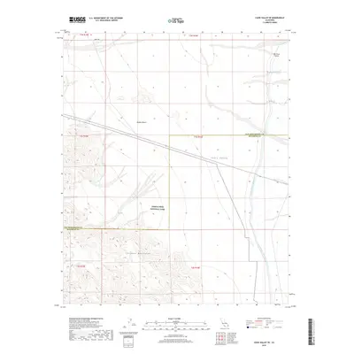
2018 Map of Cadiz Valley SE
USGS Topo · Published 2018About this map
The Colorado River Aqueduct traverses the arid floor of the Cadiz Valley, representing a critical piece of water infrastructure in the eastern Mojave Desert. This 2018 survey documents a remote desert landscape where industrial engineering meets protected wilderness. The northern reach of Joshua Tree National Park occupies the southern half of the map, encompassing the stark elevations of the Coxcomb Mountains. The map also captures the West Iron Portal, a key landmark along the aqueduct's path through the desert. Straddling the boundary of San Bernardino and Riverside counties, the area is defined by massive open basins and the linear infrastructure required to move water across the Californian interior. Route 62 provides the primary transit corridor through this expanse of public and protected lands.
Find a feature on this map
8 named features on this map. Tap any name to fly to it.
Don’t see what you’re looking for? This feature index may not catch every label — zoom into the map to look around manually.
Map Details
Editions of this 2018 Cadiz Valley SE Map
This is the sole edition of this map. No revisions or reprints were ever made.
Other maps of this area

1942 · Amboy
USGS Topo · 1:250,000

1943 · Amboy
USGS Topo · 1:250,000

1943 · Cadiz Valley
USGS Topo · 1:62,500

1943 · Iron Mountains
USGS Topo · 1:62,500

1943 · Coxcomb Mountains
USGS Topo · 1:62,500

1944 · Coxcomb Mountains
USGS Topo · 1:62,500

1952 · Palen Mountains
USGS Topo · 1:62,500

1954 · Salton Sea
USGS Topo · 1:250,000

1954 · Needles
USGS Topo · 1:250,000

1955 · Salton Sea
USGS Topo · 1:250,000