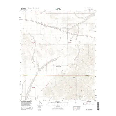
2015 Map of Cadiz Valley SW
USGS Topo · Published 2015About this map
Joshua Tree National Park encompasses a significant portion of this arid landscape, where the southern reaches of the Mojave Desert meet the high-relief terrain of the Coxcomb Mountains. The map reveals a transition from the broad, sandy expanse of the Pinto Basin in the southwest to the rugged mountain ridges that dominate the southeastern corner. This area serves as a critical desert corridor, bisected by the primary route of Highway 62, which cuts across the northern desert floor. The cartography highlights the complex network of dry washes and alluvial fans that define the drainage patterns between the mountains and the basin, illustrating the geological character of the San Bernardino and Riverside County line as it passes through the protected park lands.
Find a feature on this map
6 named features on this map. Tap any name to fly to it.
Don’t see what you’re looking for? This feature index may not catch every label — zoom into the map to look around manually.
Map Details
Editions of this 2015 Cadiz Valley SW Map
This is the sole edition of this map. No revisions or reprints were ever made.
Other maps of this area

1942 · Amboy
USGS Topo · 1:250,000

1943 · Amboy
USGS Topo · 1:250,000

1943 · Cadiz Valley
USGS Topo · 1:62,500

1943 · Coxcomb Mountains
USGS Topo · 1:62,500

1944 · Eagle Tank
USGS Topo · 1:62,500

1944 · Coxcomb Mountains
USGS Topo · 1:62,500

1954 · Salton Sea
USGS Topo · 1:250,000

1954 · Needles
USGS Topo · 1:250,000

1955 · Salton Sea
USGS Topo · 1:250,000

1956 · Needles
USGS Topo · 1:250,000