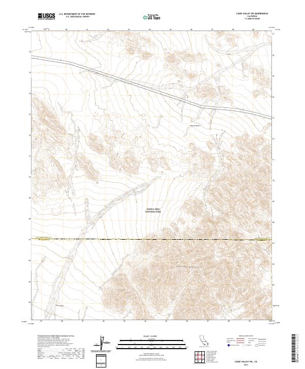
2021 Map of Cadiz Valley SW
USGS Topo · Published 2021About this map
The northern reaches of Joshua Tree National Park dominate this desert landscape, where the high-altitude terrain of the Coxcomb Mountains transitions into the expansive Pinto Basin. This 2021 survey illustrates the stark geography of the Mojave Desert, highlighting the topographical complexity of the mountain range as it slopes toward the basin floor. The map documents the administrative boundary between San Bernardino County and Riverside County, which bisects the rugged interior of the park. While the area remains largely undeveloped, the survey provides a detailed view of the natural water drainage patterns and land contours that define this protected wilderness. Researchers and land managers can use this record to study the topographical intersections of the t2s r14e and t2s r15e townships within the desert's unique ecological corridor.
Find a feature on this map
11 named features on this map. Tap any name to fly to it.
Don’t see what you’re looking for? This feature index may not catch every label — zoom into the map to look around manually.
Map Details
Editions of this 2021 Cadiz Valley SW Map
This is the sole edition of this map. No revisions or reprints were ever made.
Other maps of this area

1942 · Amboy
USGS Topo · 1:250,000

1943 · Amboy
USGS Topo · 1:250,000

1943 · Cadiz Valley
USGS Topo · 1:62,500

1943 · Coxcomb Mountains
USGS Topo · 1:62,500

1944 · Eagle Tank
USGS Topo · 1:62,500

1944 · Coxcomb Mountains
USGS Topo · 1:62,500

1954 · Salton Sea
USGS Topo · 1:250,000

1954 · Needles
USGS Topo · 1:250,000

1955 · Salton Sea
USGS Topo · 1:250,000

1956 · Needles
USGS Topo · 1:250,000