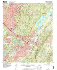
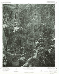
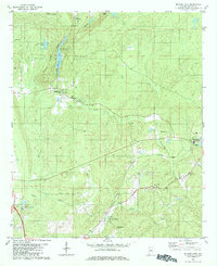
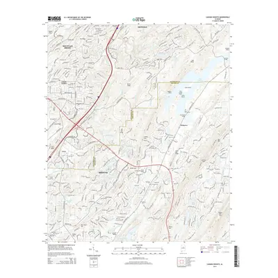
1998 Map of Cahaba Heights
USGS Topo · Published 2001About this map
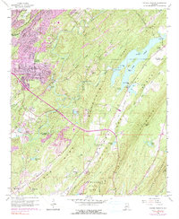
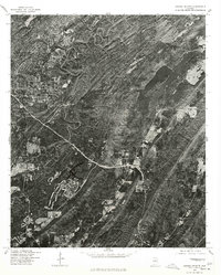
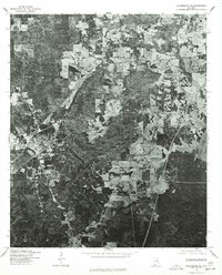
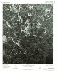
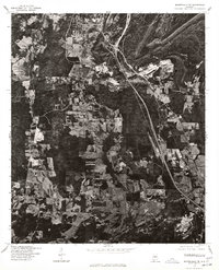
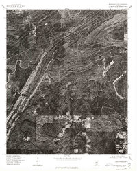
Shades Mountain Ridge and Double Oak Mountain define the topography of this Jefferson and Shelby County borderland. The landscape reflects the mid-century expansion of Birmingham's southern suburbs, where residential growth in Cahaba Heights and Hoover meets the protected waters of Lake Purdy. This reservoir, featuring The Narrows and Goat Island, serves as a primary geographical anchor alongside the winding path of the Cahaba River.
Find a feature on this map
53 named features on this map. Tap any name to fly to it.
Don’t see what you’re looking for? This feature index may not catch every label — zoom into the map to look around manually.
Map Details
Editions of this 1998 Cahaba Heights Map
This is the sole edition of this map. No revisions or reprints were ever made.
Historical Maps of Birmingham Through Time
20 maps found
1959 Cahaba Heights
Shelby County, AL
1975 Cahaba Heights
Shelby County, AL
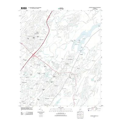
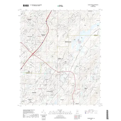
1975 Columbiana NE
Shelby County, AL
1975 Columbiana NW
Shelby County, AL
1975 Columbiana SE
Shelby County, AL
1975 Montevallo NE
Shelby County, AL
1975 Montevallo NW
Shelby County, AL
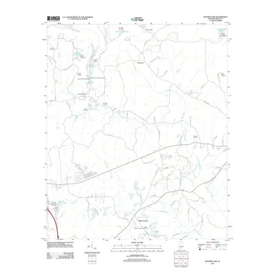
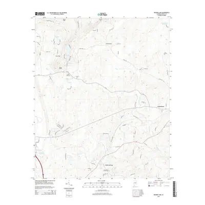
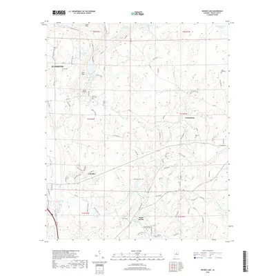
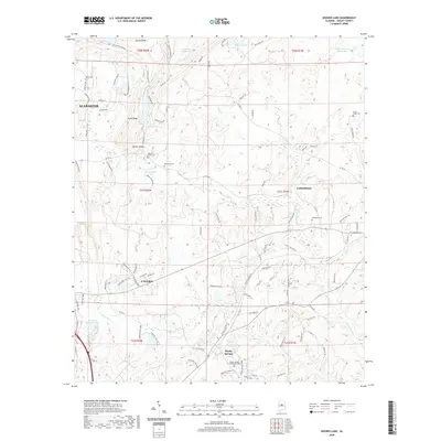
1980 Bounds Lake
Shelby County, AL
1984 Birmingham South
Shelby County, AL
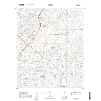
1998 Cahaba Heights
Shelby County, AL
2011 Bounds Lake
Shelby County, AL
2011 Cahaba Heights
Shelby County, AL
2014 Bounds Lake
Shelby County, AL
2014 Cahaba Heights
Shelby County, AL
2018 Bounds Lake
Shelby County, AL
2018 Cahaba Heights
Shelby County, AL
2020 Bounds Lake
Shelby County, AL
2020 Cahaba Heights
Shelby County, AL
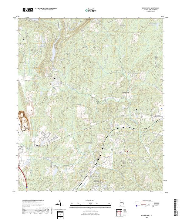
2024 Bounds Lake
Shelby County, AL
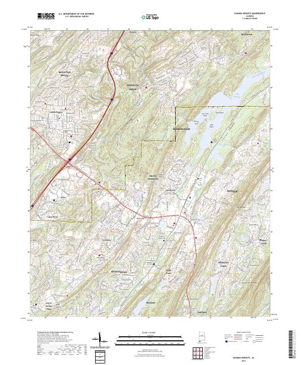
2024 Cahaba Heights
Shelby County, AL