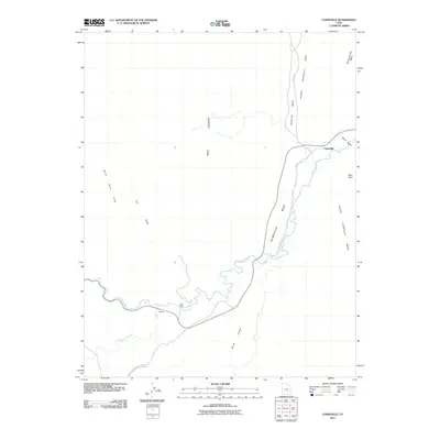
2011 Map of Caineville
USGS Topo · Published 2011About this map
The Fremont River carves a winding path through this stark corridor of Wayne County, dictating the placement of settlements and transport in a landscape defined by towering geological formations. The small community of Caineville sits at the foot of the Caineville Reef, while the settlement of Aldrich is positioned further west near the river's bend. This 2011 survey illustrates how the environment dictates human activity, with the Red Desert and the massive North Caineville Mesa and South Caineville Mesa hem in the valley. Significant drainage systems like Dry Wash, Pleasant Creek, and Sandy Creek converge toward the river, while a River Ford suggests traditional crossing points that predate modern bridges. The presence of the Capitol Reef National Park Rd in the south connects this remote topography to the broader protected landscape.
Find a feature on this map
17 named features on this map. Tap any name to fly to it.
Don’t see what you’re looking for? This feature index may not catch every label — zoom into the map to look around manually.
Map Details
Editions of this 2011 Caineville Map
This is the sole edition of this map. No revisions or reprints were ever made.
Other maps of this area

1885 · San Rafael
USGS Topo · 1:250,000

1885 · Fish Lake
USGS Topo · 1:250,000

1896 · Fish Lake
USGS Topo · 1:250,000

1952 · Notom 4 NW
USGS Topo · 1:24,000

1952 · Notom 4 NE
USGS Topo · 1:24,000

1952 · Notom 1 SW
USGS Topo · 1:24,000

1952 · Notom
USGS Topo · 1:62,500

1954 · Mt. Ellen 2 SW
USGS Topo · 1:24,000

1954 · Mt. Ellen 2 NW
USGS Topo · 1:24,000

1954 · Notom 1 NE
USGS Topo · 1:24,000