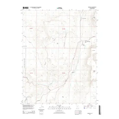
2014 Map of Caineville
USGS Topo · Published 2014About this map
The Fremont River carves a path through this landscape, marking a vital water source for the settlement of Caineville. This eastern margin of Capitol Reef National Park is defined by striking geologic features like the Caineville Reef and the dramatic elevations of North Caineville Mesa and South Caineville Mesa. The presence of Notom Cemetery near Pleasant Cr provides a grounded point of interest for genealogists and local historians tracking early residents of Wayne County.
Find a feature on this map
39 named features on this map. Tap any name to fly to it.
Don’t see what you’re looking for? This feature index may not catch every label — zoom into the map to look around manually.
Map Details
Editions of this 2014 Caineville Map
This is the sole edition of this map. No revisions or reprints were ever made.
Other maps of this area

1885 · San Rafael
USGS Topo · 1:250,000

1885 · Fish Lake
USGS Topo · 1:250,000

1896 · Fish Lake
USGS Topo · 1:250,000

1952 · Notom 4 NW
USGS Topo · 1:24,000

1952 · Notom 4 NE
USGS Topo · 1:24,000

1952 · Notom 1 SW
USGS Topo · 1:24,000

1952 · Notom
USGS Topo · 1:62,500

1954 · Mt. Ellen 2 SW
USGS Topo · 1:24,000

1954 · Mt. Ellen 2 NW
USGS Topo · 1:24,000

1954 · Notom 1 NE
USGS Topo · 1:24,000